Distance from Sokol to Solntsevo
Distance between Sokol and Solntsevo is 20 kilometers (12 miles).
Driving distance from Sokol to Solntsevo is 31 kilometers (20 miles).
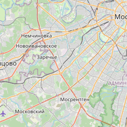
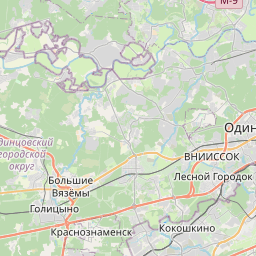
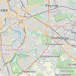
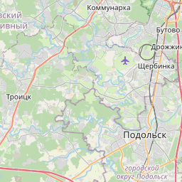
Distance Map Between Sokol and Solntsevo
Sokol, Moscow, Russia ↔ Solntsevo, Moscow, Russia = 12 miles = 20 km.


How far is it between Sokol and Solntsevo
Sokol is located in Russia with (55.8,37.5167) coordinates and Solntsevo is located in Russia with (55.6371,37.3812) coordinates. The calculated flying distance from Sokol to Solntsevo is equal to 12 miles which is equal to 20 km.
If you want to go by car, the driving distance between Sokol and Solntsevo is 31.4 km. If you ride your car with an average speed of 112 kilometers/hour (70 miles/h), travel time will be 00 hours 16 minutes. Please check the avg. speed travel time table on the right for various options.
Difference between fly and go by a car is 11 km.
| City/Place | Latitude and Longitude | GPS Coordinates |
|---|---|---|
| Sokol | 55.8, 37.5167 | 55° 47´ 60.0000'' N 37° 31´ 0.0120'' E |
| Solntsevo | 55.6371, 37.3812 | 55° 38´ 13.5960'' N 37° 22´ 52.1400'' E |
Estimated Travel Time Between Sokol and Solntsevo
| Average Speed | Travel Time |
|---|---|
| 30 mph (48 km/h) | 00 hours 39 minutes |
| 40 mph (64 km/h) | 00 hours 29 minutes |
| 50 mph (80 km/h) | 00 hours 23 minutes |
| 60 mph (97 km/h) | 00 hours 19 minutes |
| 70 mph (112 km/h) | 00 hours 16 minutes |
| 75 mph (120 km/h) | 00 hours 15 minutes |
Related Distances from Sokol
| Cities | Distance |
|---|---|
| Sokol to Vnukovo | 43 km |
| Sokol to Taganskiy | 19 km |
| Sokol to Zyablikovo | 34 km |
| Sokol to Zhulebino | 29 km |
| Sokol to Zamoskvorech Ye | 15 km |
Related Distances to Solntsevo
| Cities | Distance |
|---|---|
| Kuz Minki to Solntsevo | 33 km |
| Lefortovo to Solntsevo | 33 km |
| Ivanovskoye to Solntsevo | 50 km |
| Annino 2 to Solntsevo | 20 km |
| Ramenki to Solntsevo | 12 km |