Distance from Solon to Portsmouth
Distance between Solon and Portsmouth is 324 kilometers (201 miles).
Driving distance from Solon to Portsmouth is 382 kilometers (237 miles).
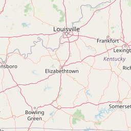
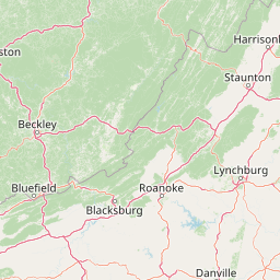
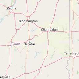
Distance Map Between Solon and Portsmouth
Solon, Columbus, United States ↔ Portsmouth, Columbus, United States = 201 miles = 324 km.


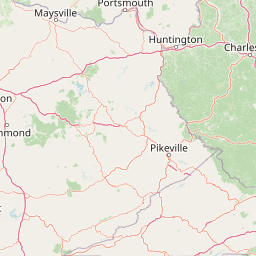


How far is it between Solon and Portsmouth
Solon is located in United States with (41.3898,-81.4412) coordinates and Portsmouth is located in United States with (38.7317,-82.9977) coordinates. The calculated flying distance from Solon to Portsmouth is equal to 201 miles which is equal to 324 km.
If you want to go by car, the driving distance between Solon and Portsmouth is 381.58 km. If you ride your car with an average speed of 112 kilometers/hour (70 miles/h), travel time will be 03 hours 24 minutes. Please check the avg. speed travel time table on the right for various options.
Difference between fly and go by a car is 58 km.
| City/Place | Latitude and Longitude | GPS Coordinates |
|---|---|---|
| Solon | 41.3898, -81.4412 | 41° 23´ 23.2080'' N 81° 26´ 28.4280'' W |
| Portsmouth | 38.7317, -82.9977 | 38° 43´ 54.2640'' N 82° 59´ 51.6120'' W |
Estimated Travel Time Between Solon and Portsmouth
| Average Speed | Travel Time |
|---|---|
| 30 mph (48 km/h) | 07 hours 56 minutes |
| 40 mph (64 km/h) | 05 hours 57 minutes |
| 50 mph (80 km/h) | 04 hours 46 minutes |
| 60 mph (97 km/h) | 03 hours 56 minutes |
| 70 mph (112 km/h) | 03 hours 24 minutes |
| 75 mph (120 km/h) | 03 hours 10 minutes |
Related Distances from Solon
| Cities | Distance |
|---|---|
| Solon to Cleveland | 34 km |
| Solon to Medina 2 | 62 km |
| Solon to Parma 2 | 30 km |
| Solon to Cincinnati | 397 km |
| Solon to Sandusky | 126 km |
Related Distances to Portsmouth
| Cities | Distance |
|---|---|
| Kent 2 to Portsmouth 4 | 368 km |
| Chillicothe to Portsmouth 4 | 73 km |
| Newark 2 to Portsmouth 4 | 202 km |
| Dublin 3 to Portsmouth 4 | 167 km |
| Cleveland Heights to Portsmouth 4 | 390 km |