Distance from Solon to Sidney
Distance between Solon and Sidney is 259 kilometers (161 miles).
Driving distance from Solon to Sidney is 337 kilometers (209 miles).
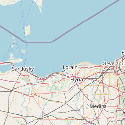
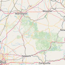
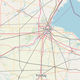
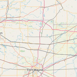
Distance Map Between Solon and Sidney
Solon, Columbus, United States ↔ Sidney, Columbus, United States = 161 miles = 259 km.


How far is it between Solon and Sidney
Solon is located in United States with (41.3898,-81.4412) coordinates and Sidney is located in United States with (40.2842,-84.1555) coordinates. The calculated flying distance from Solon to Sidney is equal to 161 miles which is equal to 259 km.
If you want to go by car, the driving distance between Solon and Sidney is 336.61 km. If you ride your car with an average speed of 112 kilometers/hour (70 miles/h), travel time will be 03 hours 00 minutes. Please check the avg. speed travel time table on the right for various options.
Difference between fly and go by a car is 78 km.
| City/Place | Latitude and Longitude | GPS Coordinates |
|---|---|---|
| Solon | 41.3898, -81.4412 | 41° 23´ 23.2080'' N 81° 26´ 28.4280'' W |
| Sidney | 40.2842, -84.1555 | 40° 17´ 3.1920'' N 84° 9´ 19.8000'' W |
Estimated Travel Time Between Solon and Sidney
| Average Speed | Travel Time |
|---|---|
| 30 mph (48 km/h) | 07 hours 00 minutes |
| 40 mph (64 km/h) | 05 hours 15 minutes |
| 50 mph (80 km/h) | 04 hours 12 minutes |
| 60 mph (97 km/h) | 03 hours 28 minutes |
| 70 mph (112 km/h) | 03 hours 00 minutes |
| 75 mph (120 km/h) | 02 hours 48 minutes |
Related Distances from Solon
| Cities | Distance |
|---|---|
| Solon to Cleveland | 34 km |
| Solon to Medina 2 | 62 km |
| Solon to Parma 2 | 30 km |
| Solon to Cincinnati | 397 km |
| Solon to Sandusky | 126 km |
Related Distances to Sidney
| Cities | Distance |
|---|---|
| Troy 3 to Sidney | 32 km |
| Toledo to Sidney | 183 km |
| South Euclid to Sidney | 342 km |
| Tiffin to Sidney | 164 km |
| Westerville to Sidney | 129 km |