Distance from South Bend to Gary
Distance between South Bend and Gary is 92 kilometers (57 miles).
Driving distance from South Bend to Gary is 107 kilometers (66 miles).
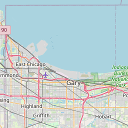
Distance Map Between South Bend and Gary
South Bend, Indianapolis, United States ↔ Gary, Indianapolis, United States = 57 miles = 92 km.


How far is it between South Bend and Gary
South Bend is located in United States with (41.6834,-86.25) coordinates and Gary is located in United States with (41.5934,-87.3464) coordinates. The calculated flying distance from South Bend to Gary is equal to 57 miles which is equal to 92 km.
If you want to go by car, the driving distance between South Bend and Gary is 106.66 km. If you ride your car with an average speed of 112 kilometers/hour (70 miles/h), travel time will be 00 hours 57 minutes. Please check the avg. speed travel time table on the right for various options.
Difference between fly and go by a car is 15 km.
| City/Place | Latitude and Longitude | GPS Coordinates |
|---|---|---|
| South Bend | 41.6834, -86.25 | 41° 41´ 0.1680'' N 86° 15´ 0.0360'' W |
| Gary | 41.5934, -87.3464 | 41° 35´ 36.1320'' N 87° 20´ 47.1480'' W |
Estimated Travel Time Between South Bend and Gary
| Average Speed | Travel Time |
|---|---|
| 30 mph (48 km/h) | 02 hours 13 minutes |
| 40 mph (64 km/h) | 01 hours 39 minutes |
| 50 mph (80 km/h) | 01 hours 19 minutes |
| 60 mph (97 km/h) | 01 hours 05 minutes |
| 70 mph (112 km/h) | 00 hours 57 minutes |
| 75 mph (120 km/h) | 00 hours 53 minutes |
Related Distances from South Bend
| Cities | Distance |
|---|---|
| South Bend to Evansville | 506 km |
| South Bend to Michigan City | 58 km |
| South Bend to Fort Wayne | 145 km |
| South Bend to Granger | 20 km |
| South Bend to Goshen | 46 km |
Related Distances to Gary
| Cities | Distance |
|---|---|
| Michigan City to Gary | 48 km |
| South Bend to Gary | 107 km |
| Griffith to Gary | 15 km |
| Hammond to Gary | 17 km |
| Highland 2 to Gary | 13 km |