Distance from South River to Rahway
Distance between South River and Rahway is 20 kilometers (13 miles).
Driving distance from South River to Rahway is 30 kilometers (18 miles).
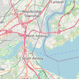
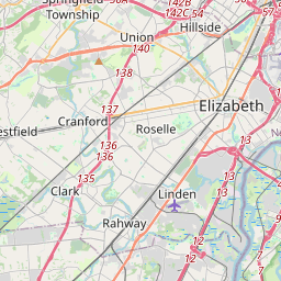
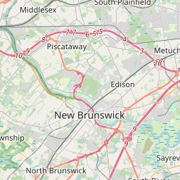
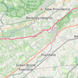
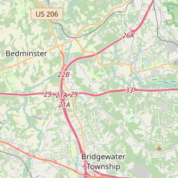
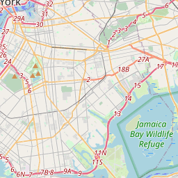
Distance Map Between South River and Rahway
South River, Trenton, United States ↔ Rahway, Trenton, United States = 13 miles = 20 km.


How far is it between South River and Rahway
South River is located in United States with (40.4465,-74.386) coordinates and Rahway is located in United States with (40.6082,-74.2777) coordinates. The calculated flying distance from South River to Rahway is equal to 13 miles which is equal to 20 km.
If you want to go by car, the driving distance between South River and Rahway is 29.65 km. If you ride your car with an average speed of 112 kilometers/hour (70 miles/h), travel time will be 00 hours 15 minutes. Please check the avg. speed travel time table on the right for various options.
Difference between fly and go by a car is 10 km.
| City/Place | Latitude and Longitude | GPS Coordinates |
|---|---|---|
| South River | 40.4465, -74.386 | 40° 26´ 47.3640'' N 74° 23´ 9.5280'' W |
| Rahway | 40.6082, -74.2777 | 40° 36´ 29.3760'' N 74° 16´ 39.5400'' W |
Estimated Travel Time Between South River and Rahway
| Average Speed | Travel Time |
|---|---|
| 30 mph (48 km/h) | 00 hours 37 minutes |
| 40 mph (64 km/h) | 00 hours 27 minutes |
| 50 mph (80 km/h) | 00 hours 22 minutes |
| 60 mph (97 km/h) | 00 hours 18 minutes |
| 70 mph (112 km/h) | 00 hours 15 minutes |
| 75 mph (120 km/h) | 00 hours 14 minutes |
Related Distances from South River
| Cities | Distance |
|---|---|
| South River to Edison | 12 km |
| South River to East Brunswick | 4 km |
| South River to Perth Amboy | 15 km |
| South River to Jersey City | 49 km |
| South River to Atlantic City | 156 km |
Related Distances to Rahway
| Cities | Distance |
|---|---|
| Union to Rahway | 15 km |
| Westfield 2 to Rahway | 10 km |
| Woodbridge to Rahway | 8 km |
| Roselle 2 to Rahway | 8 km |
| Bridgewater to Rahway | 43 km |