Distance from Southgate to Clinton
Distance between Southgate and Clinton is 47 kilometers (29 miles).
Driving distance from Southgate to Clinton is 58 kilometers (36 miles).
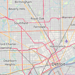
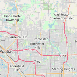
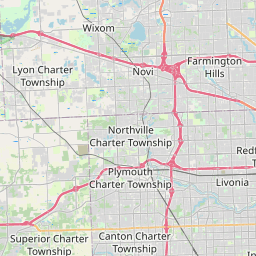
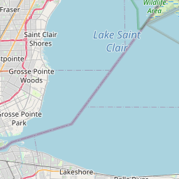
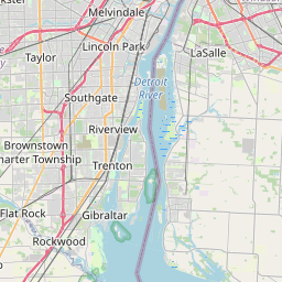
Distance Map Between Southgate and Clinton
Southgate, Lansing, United States ↔ Clinton, Lansing, United States = 29 miles = 47 km.

How far is it between Southgate and Clinton
Southgate is located in United States with (42.2139,-83.1938) coordinates and Clinton is located in United States with (42.587,-82.9199) coordinates. The calculated flying distance from Southgate to Clinton is equal to 29 miles which is equal to 47 km.
If you want to go by car, the driving distance between Southgate and Clinton is 58.42 km. If you ride your car with an average speed of 112 kilometers/hour (70 miles/h), travel time will be 00 hours 31 minutes. Please check the avg. speed travel time table on the right for various options.
Difference between fly and go by a car is 11 km.
| City/Place | Latitude and Longitude | GPS Coordinates |
|---|---|---|
| Southgate | 42.2139, -83.1938 | 42° 12´ 50.1480'' N 83° 11´ 37.7160'' W |
| Clinton | 42.587, -82.9199 | 42° 35´ 13.1280'' N 82° 55´ 11.7120'' W |
Estimated Travel Time Between Southgate and Clinton
| Average Speed | Travel Time |
|---|---|
| 30 mph (48 km/h) | 01 hours 13 minutes |
| 40 mph (64 km/h) | 00 hours 54 minutes |
| 50 mph (80 km/h) | 00 hours 43 minutes |
| 60 mph (97 km/h) | 00 hours 36 minutes |
| 70 mph (112 km/h) | 00 hours 31 minutes |
| 75 mph (120 km/h) | 00 hours 29 minutes |
Related Distances from Southgate
| Cities | Distance |
|---|---|
| Southgate to Detroit | 22 km |
| Southgate to Lincoln Park | 5 km |
| Southgate to Romulus | 25 km |
| Southgate to Mount Pleasant 2 | 256 km |
| Southgate to Royal Oak | 42 km |
Related Distances to Clinton
| Cities | Distance |
|---|---|
| Davenport to Clinton 3 | 66 km |
| Ogden to Clinton 5 | 15 km |
| Ypsilanti to Clinton | 90 km |
| Hanover to Clinton 2 | 61 km |
| Layton to Clinton 5 | 15 km |