Distance from St. Thomas to Pembroke
Distance between St. Thomas and Pembroke is 468 kilometers (291 miles).
Driving distance from St. Thomas to Pembroke is 583 kilometers (362 miles).
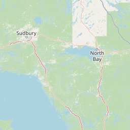
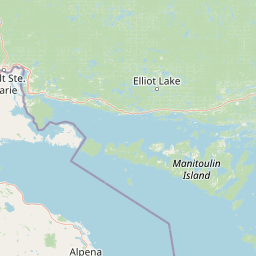
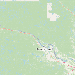
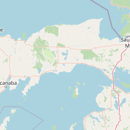
Distance Map Between St. Thomas and Pembroke
St. Thomas, Ontario, Canada ↔ Pembroke, Ontario, Canada = 291 miles = 468 km.


How far is it between St. Thomas and Pembroke
St. Thomas is located in Canada with (42.7736,-81.1804) coordinates and Pembroke is located in Canada with (45.8168,-77.1162) coordinates. The calculated flying distance from St. Thomas to Pembroke is equal to 291 miles which is equal to 468 km.
If you want to go by car, the driving distance between St. Thomas and Pembroke is 582.63 km. If you ride your car with an average speed of 112 kilometers/hour (70 miles/h), travel time will be 05 hours 12 minutes. Please check the avg. speed travel time table on the right for various options.
Difference between fly and go by a car is 115 km.
| City/Place | Latitude and Longitude | GPS Coordinates |
|---|---|---|
| St. Thomas | 42.7736, -81.1804 | 42° 46´ 24.9960'' N 81° 10´ 49.3680'' W |
| Pembroke | 45.8168, -77.1162 | 45° 49´ 0.5160'' N 77° 6´ 58.1760'' W |
Estimated Travel Time Between St. Thomas and Pembroke
| Average Speed | Travel Time |
|---|---|
| 30 mph (48 km/h) | 12 hours 08 minutes |
| 40 mph (64 km/h) | 09 hours 06 minutes |
| 50 mph (80 km/h) | 07 hours 16 minutes |
| 60 mph (97 km/h) | 06 hours 00 minutes |
| 70 mph (112 km/h) | 05 hours 12 minutes |
| 75 mph (120 km/h) | 04 hours 51 minutes |
Related Distances from St. Thomas
| Cities | Distance |
|---|---|
| St Thomas to London 2 | 30 km |
| St Thomas to Kingston 2 | 453 km |
| St Thomas to Hamilton | 141 km |
| St Thomas to Niagara Falls | 213 km |
| St Thomas to Kitchener | 115 km |
Related Distances to Pembroke
| Cities | Distance |
|---|---|
| Toronto to Pembroke | 408 km |
| Petawawa to Pembroke | 17 km |
| Sault Ste Marie to Pembroke | 650 km |
| Thunder Bay to Pembroke | 1319 km |
| Peterborough 2 to Pembroke | 246 km |