Distance from Stockholm to Albertslund
Distance between Stockholm and Albertslund is 532 kilometers (330 miles).
Driving distance from Stockholm to Albertslund is 668 kilometers (415 miles).
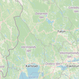
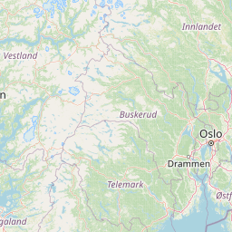
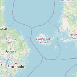
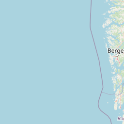
Distance Map Between Stockholm and Albertslund
Stockholm, Sweden ↔ Albertslund, Copenhagen, Denmark = 330 miles = 532 km.


How far is it between Stockholm and Albertslund
Stockholm is located in Sweden with (59.3326,18.0649) coordinates and Albertslund is located in Denmark with (55.6569,12.3638) coordinates. The calculated flying distance from Stockholm to Albertslund is equal to 330 miles which is equal to 532 km.
If you want to go by car, the driving distance between Stockholm and Albertslund is 668.17 km. If you ride your car with an average speed of 112 kilometers/hour (70 miles/h), travel time will be 05 hours 57 minutes. Please check the avg. speed travel time table on the right for various options.
Difference between fly and go by a car is 136 km.
| City/Place | Latitude and Longitude | GPS Coordinates |
|---|---|---|
| Stockholm | 59.3326, 18.0649 | 59° 19´ 57.2880'' N 18° 3´ 53.6400'' E |
| Albertslund | 55.6569, 12.3638 | 55° 39´ 24.8760'' N 12° 21´ 49.7160'' E |
Estimated Travel Time Between Stockholm and Albertslund
| Average Speed | Travel Time |
|---|---|
| 30 mph (48 km/h) | 13 hours 55 minutes |
| 40 mph (64 km/h) | 10 hours 26 minutes |
| 50 mph (80 km/h) | 08 hours 21 minutes |
| 60 mph (97 km/h) | 06 hours 53 minutes |
| 70 mph (112 km/h) | 05 hours 57 minutes |
| 75 mph (120 km/h) | 05 hours 34 minutes |
Related Distances from Stockholm
| Cities | Distance |
|---|---|
| Stockholm to Copenhagen | 659 km |
| Stockholm to Vejle | 882 km |
| Stockholm to Odense | 814 km |
| Stockholm to Silkeborg | 941 km |
| Stockholm to Aalborg | 629 km |
Related Distances to Albertslund
| Cities | Distance |
|---|---|
| Stockholm to Albertslund | 668 km |