Distance from Stockholm to Helchteren
Distance between Stockholm and Helchteren is 1219 kilometers (757 miles).
Driving distance from Stockholm to Helchteren is 1495 kilometers (929 miles).
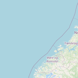
Distance Map Between Stockholm and Helchteren
Stockholm, Sweden ↔ Helchteren, , Belgium = 757 miles = 1219 km.


How far is it between Stockholm and Helchteren
Stockholm is located in Sweden with (59.3326,18.0649) coordinates and Helchteren is located in Belgium with (51.0559,5.3824) coordinates. The calculated flying distance from Stockholm to Helchteren is equal to 757 miles which is equal to 1219 km.
If you want to go by car, the driving distance between Stockholm and Helchteren is 1494.58 km. If you ride your car with an average speed of 112 kilometers/hour (70 miles/h), travel time will be 13 hours 20 minutes. Please check the avg. speed travel time table on the right for various options.
Difference between fly and go by a car is 276 km.
| City/Place | Latitude and Longitude | GPS Coordinates |
|---|---|---|
| Stockholm | 59.3326, 18.0649 | 59° 19´ 57.2880'' N 18° 3´ 53.6400'' E |
| Helchteren | 51.0559, 5.3824 | 51° 3´ 21.2760'' N 5° 22´ 56.7840'' E |
Estimated Travel Time Between Stockholm and Helchteren
| Average Speed | Travel Time |
|---|---|
| 30 mph (48 km/h) | 31 hours 08 minutes |
| 40 mph (64 km/h) | 23 hours 21 minutes |
| 50 mph (80 km/h) | 18 hours 40 minutes |
| 60 mph (97 km/h) | 15 hours 24 minutes |
| 70 mph (112 km/h) | 13 hours 20 minutes |
| 75 mph (120 km/h) | 12 hours 27 minutes |
Related Distances from Stockholm
| Cities | Distance |
|---|---|
| Stockholm to Brussels | 1571 km |
| Stockholm to Antwerpen | 1522 km |
| Stockholm to Liege | 1499 km |
| Stockholm to Genk | 1476 km |
| Stockholm to Brugge | 1625 km |