Distance from Stockholm to Istra
Distance between Stockholm and Istra is 1177 kilometers (732 miles).
Driving distance from Stockholm to Istra is 1546 kilometers (961 miles).
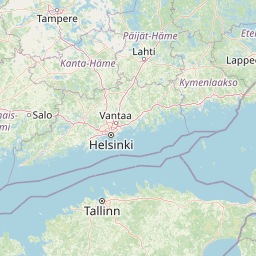
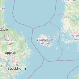
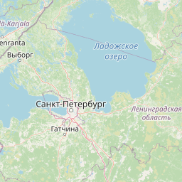
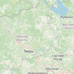
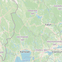
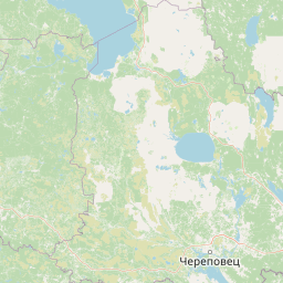
Distance Map Between Stockholm and Istra
Stockholm, Sweden ↔ Istra, Vostochnoe Degunino, Russia = 732 miles = 1177 km.


How far is it between Stockholm and Istra
Stockholm is located in Sweden with (59.3326,18.0649) coordinates and Istra is located in Russia with (55.92,36.8687) coordinates. The calculated flying distance from Stockholm to Istra is equal to 732 miles which is equal to 1177 km.
If you want to go by car, the driving distance between Stockholm and Istra is 1546.49 km. If you ride your car with an average speed of 112 kilometers/hour (70 miles/h), travel time will be 13 hours 48 minutes. Please check the avg. speed travel time table on the right for various options.
Difference between fly and go by a car is 369 km.
| City/Place | Latitude and Longitude | GPS Coordinates |
|---|---|---|
| Stockholm | 59.3326, 18.0649 | 59° 19´ 57.2880'' N 18° 3´ 53.6400'' E |
| Istra | 55.92, 36.8687 | 55° 55´ 11.8920'' N 36° 52´ 7.2120'' E |
Estimated Travel Time Between Stockholm and Istra
| Average Speed | Travel Time |
|---|---|
| 30 mph (48 km/h) | 32 hours 13 minutes |
| 40 mph (64 km/h) | 24 hours 09 minutes |
| 50 mph (80 km/h) | 19 hours 19 minutes |
| 60 mph (97 km/h) | 15 hours 56 minutes |
| 70 mph (112 km/h) | 13 hours 48 minutes |
| 75 mph (120 km/h) | 12 hours 53 minutes |
Related Distances from Stockholm
| Cities | Distance |
|---|---|
| Stockholm to Saint Petersburg | 861 km |
| Stockholm to Moscow | 1594 km |
| Stockholm to Kaliningrad | 1334 km |
| Stockholm to Murmansk | 1734 km |
| Stockholm to Tver | 1414 km |