Distance from Stockton to Cochrane
Distance between Stockton and Cochrane is 1565 kilometers (972 miles).
Driving distance from Stockton to Cochrane is 2069 kilometers (1285 miles).
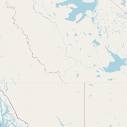
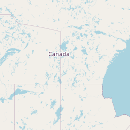
Distance Map Between Stockton and Cochrane
Stockton, Sacramento, United States ↔ Cochrane, Edmonton, Canada = 972 miles = 1565 km.


How far is it between Stockton and Cochrane
Stockton is located in United States with (37.9577,-121.2908) coordinates and Cochrane is located in Canada with (51.1834,-114.4687) coordinates. The calculated flying distance from Stockton to Cochrane is equal to 972 miles which is equal to 1565 km.
If you want to go by car, the driving distance between Stockton and Cochrane is 2068.79 km. If you ride your car with an average speed of 112 kilometers/hour (70 miles/h), travel time will be 18 hours 28 minutes. Please check the avg. speed travel time table on the right for various options.
Difference between fly and go by a car is 504 km.
| City/Place | Latitude and Longitude | GPS Coordinates |
|---|---|---|
| Stockton | 37.9577, -121.2908 | 37° 57´ 27.7200'' N 121° 17´ 26.8080'' W |
| Cochrane | 51.1834, -114.4687 | 51° 11´ 0.2760'' N 114° 28´ 7.3560'' W |
Estimated Travel Time Between Stockton and Cochrane
| Average Speed | Travel Time |
|---|---|
| 30 mph (48 km/h) | 43 hours 05 minutes |
| 40 mph (64 km/h) | 32 hours 19 minutes |
| 50 mph (80 km/h) | 25 hours 51 minutes |
| 60 mph (97 km/h) | 21 hours 19 minutes |
| 70 mph (112 km/h) | 18 hours 28 minutes |
| 75 mph (120 km/h) | 17 hours 14 minutes |
Related Distances from Stockton
| Cities | Distance |
|---|---|
| Stockton to Surrey | 1480 km |
| Stockton to Calgary | 2073 km |
| Stockton to Delta | 1489 km |
| Stockton to Walnut Grove | 1490 km |
| Stockton to Victoria | 1419 km |
Related Distances to Cochrane
| Cities | Distance |
|---|---|
| San Francisco to Cochrane | 2089 km |
| Seattle to Cochrane | 1064 km |
| Spokane to Cochrane | 683 km |
| Reno to Cochrane | 2093 km |
| Colorado Springs to Cochrane | 1895 km |