Distance from Stow to Oregon
Distance between Stow and Oregon is 179 kilometers (111 miles).
Driving distance from Stow to Oregon is 205 kilometers (127 miles).
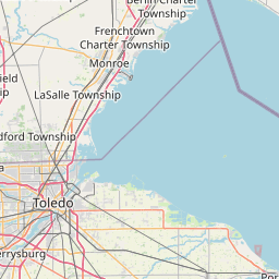
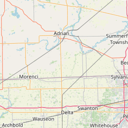
Distance Map Between Stow and Oregon
Stow, Columbus, United States ↔ Oregon, Columbus, United States = 111 miles = 179 km.


How far is it between Stow and Oregon
Stow is located in United States with (41.1595,-81.4404) coordinates and Oregon is located in United States with (41.6437,-83.4869) coordinates. The calculated flying distance from Stow to Oregon is equal to 111 miles which is equal to 179 km.
If you want to go by car, the driving distance between Stow and Oregon is 205.12 km. If you ride your car with an average speed of 112 kilometers/hour (70 miles/h), travel time will be 01 hours 49 minutes. Please check the avg. speed travel time table on the right for various options.
Difference between fly and go by a car is 26 km.
| City/Place | Latitude and Longitude | GPS Coordinates |
|---|---|---|
| Stow | 41.1595, -81.4404 | 41° 9´ 34.2000'' N 81° 26´ 25.4040'' W |
| Oregon | 41.6437, -83.4869 | 41° 38´ 37.1760'' N 83° 29´ 12.7680'' W |
Estimated Travel Time Between Stow and Oregon
| Average Speed | Travel Time |
|---|---|
| 30 mph (48 km/h) | 04 hours 16 minutes |
| 40 mph (64 km/h) | 03 hours 12 minutes |
| 50 mph (80 km/h) | 02 hours 33 minutes |
| 60 mph (97 km/h) | 02 hours 06 minutes |
| 70 mph (112 km/h) | 01 hours 49 minutes |
| 75 mph (120 km/h) | 01 hours 42 minutes |
Related Distances from Stow
| Cities | Distance |
|---|---|
| Stow to Medina 2 | 50 km |
| Stow to Mentor | 68 km |
| Stow to Solon | 42 km |
| Stow to Hudson | 9 km |
| Stow to Akron | 13 km |
Related Distances to Oregon
| Cities | Distance |
|---|---|
| Portland to Oregon City | 31 km |
| Tigard to Oregon City | 24 km |
| West Linn to Oregon City | 3 km |
| Tualatin to Oregon City | 18 km |
| Sherwood 2 to Oregon City | 25 km |