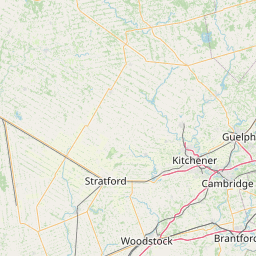
Distance from Stratford to Collingwood
Distance between Stratford and Collingwood is 137 kilometers (85 miles).
Driving distance from Stratford to Collingwood is 170 kilometers (105 miles).
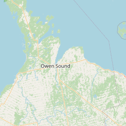
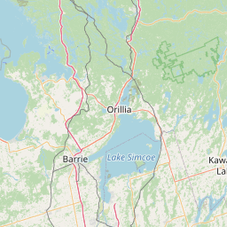
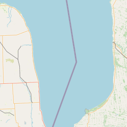
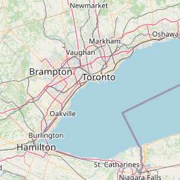
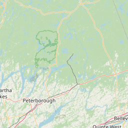
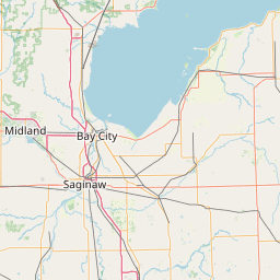
Distance Map Between Stratford and Collingwood
Stratford, Ontario, Canada ↔ Collingwood, Ontario, Canada = 85 miles = 137 km.


How far is it between Stratford and Collingwood
Stratford is located in Canada with (43.3668,-80.9497) coordinates and Collingwood is located in Canada with (44.4834,-80.2164) coordinates. The calculated flying distance from Stratford to Collingwood is equal to 85 miles which is equal to 137 km.
If you want to go by car, the driving distance between Stratford and Collingwood is 169.59 km. If you ride your car with an average speed of 112 kilometers/hour (70 miles/h), travel time will be 01 hours 30 minutes. Please check the avg. speed travel time table on the right for various options.
Difference between fly and go by a car is 33 km.
| City/Place | Latitude and Longitude | GPS Coordinates |
|---|---|---|
| Stratford | 43.3668, -80.9497 | 43° 22´ 0.4440'' N 80° 56´ 58.9920'' W |
| Collingwood | 44.4834, -80.2164 | 44° 29´ 0.2400'' N 80° 12´ 58.9680'' W |
Estimated Travel Time Between Stratford and Collingwood
| Average Speed | Travel Time |
|---|---|
| 30 mph (48 km/h) | 03 hours 31 minutes |
| 40 mph (64 km/h) | 02 hours 38 minutes |
| 50 mph (80 km/h) | 02 hours 07 minutes |
| 60 mph (97 km/h) | 01 hours 44 minutes |
| 70 mph (112 km/h) | 01 hours 30 minutes |
| 75 mph (120 km/h) | 01 hours 24 minutes |
Related Distances from Stratford
| Cities | Distance |
|---|---|
| Stratford 2 to London 2 | 64 km |
| Stratford 2 to Hamilton | 105 km |
| Stratford 2 to Brantford | 80 km |
| Stratford 2 to Kitchener | 39 km |
| Stratford 2 to Guelph | 68 km |
Related Distances to Collingwood
| Cities | Distance |
|---|---|
| Toronto to Collingwood | 142 km |
| Owen Sound to Collingwood | 67 km |
| Midland 3 to Collingwood | 59 km |
| London 2 to Collingwood | 241 km |
| Orillia to Collingwood | 76 km |