Distance from Stratford to Milton
Distance between Stratford and Milton is 88 kilometers (55 miles).
Driving distance from Stratford to Milton is 94 kilometers (59 miles).
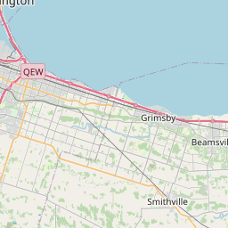
Distance Map Between Stratford and Milton
Stratford, Ontario, Canada ↔ Milton, Ontario, Canada = 55 miles = 88 km.
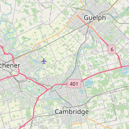
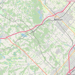

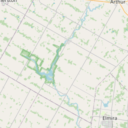
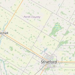
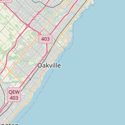

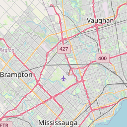

How far is it between Stratford and Milton
Stratford is located in Canada with (43.3668,-80.9497) coordinates and Milton is located in Canada with (43.5168,-79.8829) coordinates. The calculated flying distance from Stratford to Milton is equal to 55 miles which is equal to 88 km.
If you want to go by car, the driving distance between Stratford and Milton is 94.25 km. If you ride your car with an average speed of 112 kilometers/hour (70 miles/h), travel time will be 00 hours 50 minutes. Please check the avg. speed travel time table on the right for various options.
Difference between fly and go by a car is 6 km.
| City/Place | Latitude and Longitude | GPS Coordinates |
|---|---|---|
| Stratford | 43.3668, -80.9497 | 43° 22´ 0.4440'' N 80° 56´ 58.9920'' W |
| Milton | 43.5168, -79.8829 | 43° 31´ 0.5160'' N 79° 52´ 58.5840'' W |
Estimated Travel Time Between Stratford and Milton
| Average Speed | Travel Time |
|---|---|
| 30 mph (48 km/h) | 01 hours 57 minutes |
| 40 mph (64 km/h) | 01 hours 28 minutes |
| 50 mph (80 km/h) | 01 hours 10 minutes |
| 60 mph (97 km/h) | 00 hours 58 minutes |
| 70 mph (112 km/h) | 00 hours 50 minutes |
| 75 mph (120 km/h) | 00 hours 47 minutes |
Related Distances from Stratford
| Cities | Distance |
|---|---|
| Stratford 2 to London 2 | 64 km |
| Stratford 2 to Hamilton | 105 km |
| Stratford 2 to Brantford | 80 km |
| Stratford 2 to Kitchener | 39 km |
| Stratford 2 to Guelph | 68 km |
Related Distances to Milton
| Cities | Distance |
|---|---|
| Toronto to Milton | 53 km |
| Mississauga to Milton | 34 km |
| Oakville to Milton | 38 km |
| Windsor to Milton | 318 km |
| Niagara Falls to Milton | 99 km |