Distance from Summit to Garfield
Distance between Summit and Garfield is 26 kilometers (16 miles).
Driving distance from Summit to Garfield is 41 kilometers (25 miles).
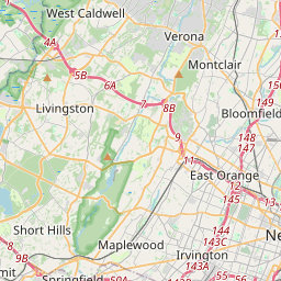
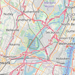
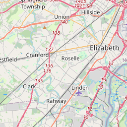
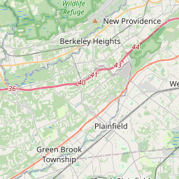
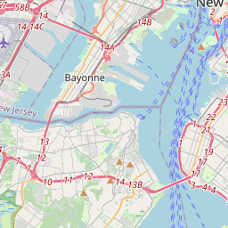
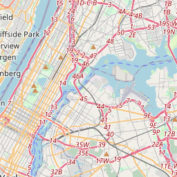
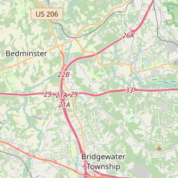
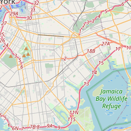
Distance Map Between Summit and Garfield
Summit, Trenton, United States ↔ Garfield, Trenton, United States = 16 miles = 26 km.


How far is it between Summit and Garfield
Summit is located in United States with (40.7415,-74.3596) coordinates and Garfield is located in United States with (40.8815,-74.1132) coordinates. The calculated flying distance from Summit to Garfield is equal to 16 miles which is equal to 26 km.
If you want to go by car, the driving distance between Summit and Garfield is 41.01 km. If you ride your car with an average speed of 112 kilometers/hour (70 miles/h), travel time will be 00 hours 21 minutes. Please check the avg. speed travel time table on the right for various options.
Difference between fly and go by a car is 15 km.
| City/Place | Latitude and Longitude | GPS Coordinates |
|---|---|---|
| Summit | 40.7415, -74.3596 | 40° 44´ 29.3640'' N 74° 21´ 34.5240'' W |
| Garfield | 40.8815, -74.1132 | 40° 52´ 53.3640'' N 74° 6´ 47.5200'' W |
Estimated Travel Time Between Summit and Garfield
| Average Speed | Travel Time |
|---|---|
| 30 mph (48 km/h) | 00 hours 51 minutes |
| 40 mph (64 km/h) | 00 hours 38 minutes |
| 50 mph (80 km/h) | 00 hours 30 minutes |
| 60 mph (97 km/h) | 00 hours 25 minutes |
| 70 mph (112 km/h) | 00 hours 21 minutes |
| 75 mph (120 km/h) | 00 hours 20 minutes |
Related Distances from Summit
| Cities | Distance |
|---|---|
| Summit to Montclair | 32 km |
| Summit to Morristown 2 | 16 km |
| Summit to Hoboken | 37 km |
| Summit to Parsippany | 17 km |
| Summit to South Orange | 14 km |
Related Distances to Garfield
| Cities | Distance |
|---|---|
| Shaker Heights to Garfield Heights | 14 km |
| Newark to Garfield | 19 km |
| Maple Heights to Garfield Heights | 4 km |
| Parma 2 to Garfield Heights | 13 km |
| Lakewood 5 to Garfield Heights | 25 km |