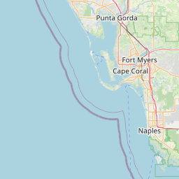
Distance from Sunset to North Port
Distance between Sunset and North Port is 239 kilometers (149 miles).
Driving distance from Sunset to North Port is 326 kilometers (203 miles).
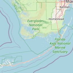
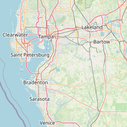
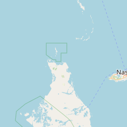
Distance Map Between Sunset and North Port
Sunset, Tallahassee, United States ↔ North Port, Tallahassee, United States = 149 miles = 239 km.


How far is it between Sunset and North Port
Sunset is located in United States with (25.7059,-80.3523) coordinates and North Port is located in United States with (27.0442,-82.2359) coordinates. The calculated flying distance from Sunset to North Port is equal to 149 miles which is equal to 239 km.
If you want to go by car, the driving distance between Sunset and North Port is 326.25 km. If you ride your car with an average speed of 112 kilometers/hour (70 miles/h), travel time will be 02 hours 54 minutes. Please check the avg. speed travel time table on the right for various options.
Difference between fly and go by a car is 87 km.
| City/Place | Latitude and Longitude | GPS Coordinates |
|---|---|---|
| Sunset | 25.7059, -80.3523 | 25° 42´ 21.3840'' N 80° 21´ 8.2080'' W |
| North Port | 27.0442, -82.2359 | 27° 2´ 39.1920'' N 82° 14´ 9.3480'' W |
Estimated Travel Time Between Sunset and North Port
| Average Speed | Travel Time |
|---|---|
| 30 mph (48 km/h) | 06 hours 47 minutes |
| 40 mph (64 km/h) | 05 hours 05 minutes |
| 50 mph (80 km/h) | 04 hours 04 minutes |
| 60 mph (97 km/h) | 03 hours 21 minutes |
| 70 mph (112 km/h) | 02 hours 54 minutes |
| 75 mph (120 km/h) | 02 hours 43 minutes |
Related Distances from Sunset
| Cities | Distance |
|---|---|
| Sunset to Allapattah | 28 km |
| Sunset to Aventura | 49 km |
| Sunset to Bartow | 381 km |
| Sunset to Boca Raton | 94 km |
| Sunset to Bonita Springs | 214 km |
| Sunset to Boynton Beach | 112 km |
| Sunset to Cape Coral | 252 km |
| Sunset to Clearwater | 462 km |
| Sunset to Coconut Creek | 81 km |
| Sunset to Coral Gables | 11 km |
Related Distances to North Port
| Cities | Distance |
|---|---|
| Punta Gorda to North Port | 24 km |
| Saint Petersburg 2 to North Port | 109 km |
| Sarasota to North Port | 55 km |
| Seminole to North Port | 133 km |
| Palm Springs 2 to North Port | 260 km |
| Vero Beach to North Port | 243 km |
| Palm Harbor to North Port | 152 km |
| Palm Bay to North Port | 296 km |
| Port Charlotte to North Port | 17 km |
| Tampa to North Port | 135 km |