Distance from Ta`izz to Gambela
Distance between Ta`izz and Gambela is 1188 kilometers (738 miles).
Driving distance from Ta`izz to Gambela is 6257 kilometers (3888 miles).
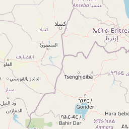
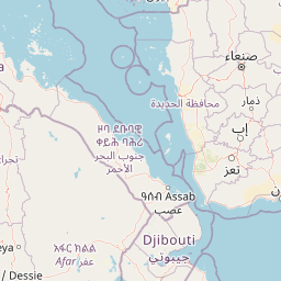
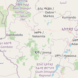
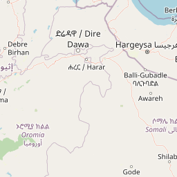
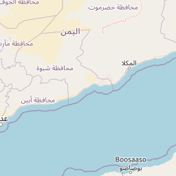
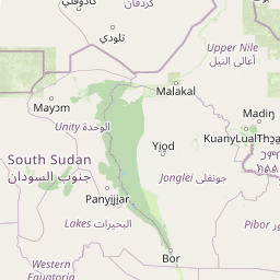
Distance Map Between Ta`izz and Gambela
Ta`izz, Yemen ↔ Gambela, Ethiopia = 738 miles = 1188 km.

How far is it between Ta‘izz and Gambēla
Ta`izz is located in Yemen with (13.5795,44.0209) coordinates and Gambela is located in Ethiopia with (8.25,34.5833) coordinates. The calculated flying distance from Ta`izz to Gambela is equal to 738 miles which is equal to 1188 km.
If you want to go by car, the driving distance between Ta`izz and Gambela is 6256.85 km. If you ride your car with an average speed of 112 kilometers/hour (70 miles/h), travel time will be 55 hours 51 minutes. Please check the avg. speed travel time table on the right for various options.
Difference between fly and go by a car is 5069 km.
| City/Place | Latitude and Longitude | GPS Coordinates |
|---|---|---|
| Ta`izz | 13.5795, 44.0209 | 13° 34´ 46.2720'' N 44° 1´ 15.2760'' E |
| Gambela | 8.25, 34.5833 | 8° 15´ 0.0000'' N 34° 34´ 59.9880'' E |
Estimated Travel Time Between Ta‘izz and Gambēla
| Average Speed | Travel Time |
|---|---|
| 30 mph (48 km/h) | 130 hours 21 minutes |
| 40 mph (64 km/h) | 97 hours 45 minutes |
| 50 mph (80 km/h) | 78 hours 12 minutes |
| 60 mph (97 km/h) | 64 hours 30 minutes |
| 70 mph (112 km/h) | 55 hours 51 minutes |
| 75 mph (120 km/h) | 52 hours 08 minutes |
Related Distances from Ta`izz
| Cities | Distance |
|---|---|
| Ta Izz to Bati | 5863 km |
| Ta Izz to Agaro | 6063 km |
| Ta Izz to Goba | 6477 km |
| Ta Izz to Arba Minch | 6456 km |
| Ta Izz to Nejo | 6085 km |
Related Distances to Gambela
| Cities | Distance |
|---|---|
| Al Hudaydah to Gambela | 6011 km |
| Aden to Gambela | 6453 km |
| Sanaa to Gambela | 6112 km |
| Ta Izz to Gambela | 6257 km |