Distance from Tahe to Tieli
Distance between Tahe and Tieli is 641 kilometers (398 miles).
Driving distance from Tahe to Tieli is 877 kilometers (545 miles).
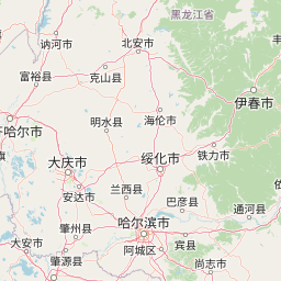
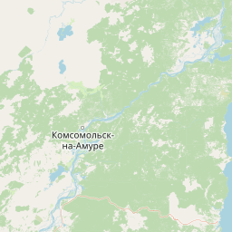
Distance Map Between Tahe and Tieli
Tahe, Harbin, China ↔ Tieli, Harbin, China = 398 miles = 641 km.


How far is it between Tahe and Tieli
Tahe is located in China with (52.3333,124.7333) coordinates and Tieli is located in China with (46.9804,128.045) coordinates. The calculated flying distance from Tahe to Tieli is equal to 398 miles which is equal to 641 km.
If you want to go by car, the driving distance between Tahe and Tieli is 876.85 km. If you ride your car with an average speed of 112 kilometers/hour (70 miles/h), travel time will be 07 hours 49 minutes. Please check the avg. speed travel time table on the right for various options.
Difference between fly and go by a car is 236 km.
| City/Place | Latitude and Longitude | GPS Coordinates |
|---|---|---|
| Tahe | 52.3333, 124.7333 | 52° 19´ 59.9880'' N 124° 43´ 59.9880'' E |
| Tieli | 46.9804, 128.045 | 46° 58´ 49.5480'' N 128° 2´ 41.8920'' E |
Estimated Travel Time Between Tahe and Tieli
| Average Speed | Travel Time |
|---|---|
| 30 mph (48 km/h) | 18 hours 16 minutes |
| 40 mph (64 km/h) | 13 hours 42 minutes |
| 50 mph (80 km/h) | 10 hours 57 minutes |
| 60 mph (97 km/h) | 09 hours 02 minutes |
| 70 mph (112 km/h) | 07 hours 49 minutes |
| 75 mph (120 km/h) | 07 hours 18 minutes |
Related Distances from Tahe
| Cities | Distance |
|---|---|
| Tahe to Zhaodong | 915 km |
| Tahe to Xinqing | 922 km |
| Tahe to Taikang | 802 km |
| Tahe to Tieli | 877 km |
| Tahe to Youhao | 847 km |
Related Distances to Tieli
| Cities | Distance |
|---|---|
| Benxi to Tieling | 147 km |
| Anshan to Tieling | 181 km |
| Fushun to Tieling | 92 km |
| Haicheng to Tieling | 216 km |
| Mudanjiang to Tieli | 544 km |