Distance from Tahe to Wangkui
Distance between Tahe and Wangkui is 624 kilometers (388 miles).
Driving distance from Tahe to Wangkui is 798 kilometers (496 miles).
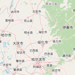
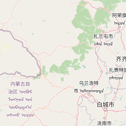
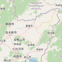
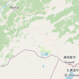
Distance Map Between Tahe and Wangkui
Tahe, Harbin, China ↔ Wangkui, Harbin, China = 388 miles = 624 km.


How far is it between Tahe and Wangkui
Tahe is located in China with (52.3333,124.7333) coordinates and Wangkui is located in China with (46.8328,126.4777) coordinates. The calculated flying distance from Tahe to Wangkui is equal to 388 miles which is equal to 624 km.
If you want to go by car, the driving distance between Tahe and Wangkui is 798.1 km. If you ride your car with an average speed of 112 kilometers/hour (70 miles/h), travel time will be 07 hours 07 minutes. Please check the avg. speed travel time table on the right for various options.
Difference between fly and go by a car is 174 km.
| City/Place | Latitude and Longitude | GPS Coordinates |
|---|---|---|
| Tahe | 52.3333, 124.7333 | 52° 19´ 59.9880'' N 124° 43´ 59.9880'' E |
| Wangkui | 46.8328, 126.4777 | 46° 49´ 58.1880'' N 126° 28´ 39.6480'' E |
Estimated Travel Time Between Tahe and Wangkui
| Average Speed | Travel Time |
|---|---|
| 30 mph (48 km/h) | 16 hours 37 minutes |
| 40 mph (64 km/h) | 12 hours 28 minutes |
| 50 mph (80 km/h) | 09 hours 58 minutes |
| 60 mph (97 km/h) | 08 hours 13 minutes |
| 70 mph (112 km/h) | 07 hours 07 minutes |
| 75 mph (120 km/h) | 06 hours 39 minutes |
Related Distances from Tahe
| Cities | Distance |
|---|---|
| Tahe to Zhaodong | 915 km |
| Tahe to Xinqing | 922 km |
| Tahe to Taikang | 802 km |
| Tahe to Tieli | 877 km |
| Tahe to Youhao | 847 km |
Related Distances to Wangkui
| Cities | Distance |
|---|---|
| Bei An to Wangkui | 199 km |
| Hailin to Wangkui | 495 km |
| Nenjiang to Wangkui | 370 km |
| Jidong to Wangkui | 644 km |
| Lianhe to Wangkui | 314 km |