Distance from Taihe to Tailai
Distance between Taihe and Tailai is 578 kilometers (359 miles).
Driving distance from Taihe to Tailai is 811 kilometers (504 miles).
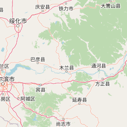
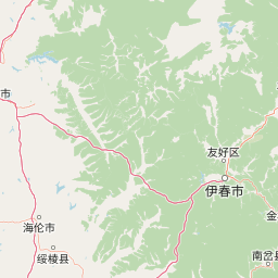
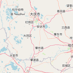
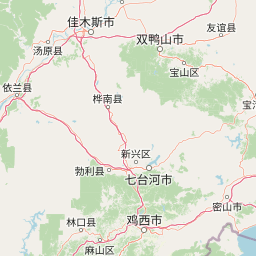
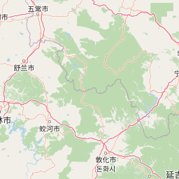
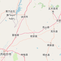
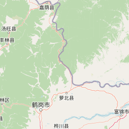
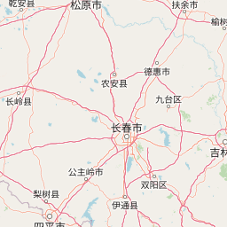
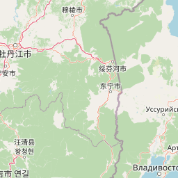
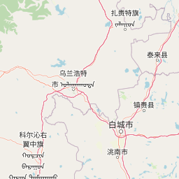
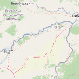
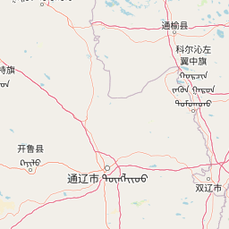
Distance Map Between Taihe and Tailai
Taihe, Harbin, China ↔ Tailai, Harbin, China = 359 miles = 578 km.

How far is it between Taihe and Tailai
Taihe is located in China with (45.762,130.8513) coordinates and Tailai is located in China with (46.3891,123.4137) coordinates. The calculated flying distance from Taihe to Tailai is equal to 359 miles which is equal to 578 km.
If you want to go by car, the driving distance between Taihe and Tailai is 810.93 km. If you ride your car with an average speed of 112 kilometers/hour (70 miles/h), travel time will be 07 hours 14 minutes. Please check the avg. speed travel time table on the right for various options.
Difference between fly and go by a car is 233 km.
| City/Place | Latitude and Longitude | GPS Coordinates |
|---|---|---|
| Taihe | 45.762, 130.8513 | 45° 45´ 43.0200'' N 130° 51´ 4.7160'' E |
| Tailai | 46.3891, 123.4137 | 46° 23´ 20.7240'' N 123° 24´ 49.3560'' E |
Estimated Travel Time Between Taihe and Tailai
| Average Speed | Travel Time |
|---|---|
| 30 mph (48 km/h) | 16 hours 53 minutes |
| 40 mph (64 km/h) | 12 hours 40 minutes |
| 50 mph (80 km/h) | 10 hours 08 minutes |
| 60 mph (97 km/h) | 08 hours 21 minutes |
| 70 mph (112 km/h) | 07 hours 14 minutes |
| 75 mph (120 km/h) | 06 hours 45 minutes |
Related Distances from Taihe
| Cities | Distance |
|---|---|
| Taihe to Shuangcheng | 452 km |
| Taihe to Tahe | 1363 km |
| Taihe to Zhaodong | 460 km |
| Taihe to Youhao | 351 km |
| Taihe to Tieli | 600 km |
Related Distances to Tailai
| Cities | Distance |
|---|---|
| Boli to Tailai | 797 km |
| Bei An to Tailai | 433 km |
| Qiqihar to Tailai | 141 km |
| Taikang to Tailai | 172 km |
| Mudanjiang to Tailai | 749 km |