Distance from Takeo to Teluk Nibung
Distance between Takeo and Teluk Nibung is 1044 kilometers (649 miles).
Driving distance from Takeo to Teluk Nibung is 3447 kilometers (2142 miles).
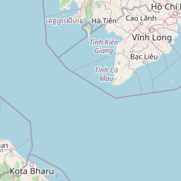
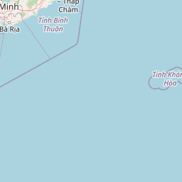
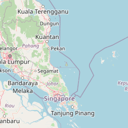
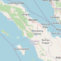
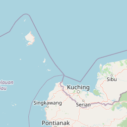
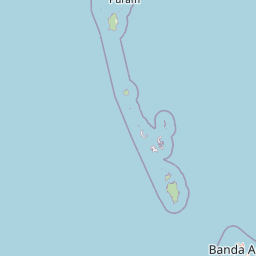
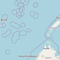
Distance Map Between Takeo and Teluk Nibung
Takeo, Cambodia ↔ Teluk Nibung, Medan, Indonesia = 649 miles = 1044 km.


How far is it between Takeo and Teluk Nibung
Takeo is located in Cambodia with (10.9908,104.785) coordinates and Teluk Nibung is located in Indonesia with (3.001,99.8164) coordinates. The calculated flying distance from Takeo to Teluk Nibung is equal to 649 miles which is equal to 1044 km.
If you want to go by car, the driving distance between Takeo and Teluk Nibung is 3447.19 km. If you ride your car with an average speed of 112 kilometers/hour (70 miles/h), travel time will be 30 hours 46 minutes. Please check the avg. speed travel time table on the right for various options.
Difference between fly and go by a car is 2403 km.
| City/Place | Latitude and Longitude | GPS Coordinates |
|---|---|---|
| Takeo | 10.9908, 104.785 | 10° 59´ 26.9160'' N 104° 47´ 5.9280'' E |
| Teluk Nibung | 3.001, 99.8164 | 3° 0´ 3.6000'' N 99° 48´ 59.0400'' E |
Estimated Travel Time Between Takeo and Teluk Nibung
| Average Speed | Travel Time |
|---|---|
| 30 mph (48 km/h) | 71 hours 48 minutes |
| 40 mph (64 km/h) | 53 hours 51 minutes |
| 50 mph (80 km/h) | 43 hours 05 minutes |
| 60 mph (97 km/h) | 35 hours 32 minutes |
| 70 mph (112 km/h) | 30 hours 46 minutes |
| 75 mph (120 km/h) | 28 hours 43 minutes |
Related Distances from Takeo
| Cities | Distance |
|---|---|
| Takeo to Amuntai | 5428 km |
| Takeo to Balikpapan | 5737 km |
| Takeo to Bandar | 3554 km |
| Takeo to Banjarmasin | 5257 km |
| Takeo to Barabai | 5397 km |
| Takeo to Belawan | 3247 km |
| Takeo to Bengkulu | 4675 km |
| Takeo to Binjai | 3289 km |
| Takeo to Bontang | 5961 km |
| Takeo to Bukittinggi | 3939 km |
Related Distances to Teluk Nibung
| Cities | Distance |
|---|---|
| Takeo to Teluk Nibung | 3447 km |
| Phnom Penh to Teluk Nibung | 3444 km |