Distance from Tashkent to Astana
Distance between Tashkent and Astana is 1116 kilometers (693 miles).
Driving distance from Tashkent to Astana is 1578 kilometers (981 miles).
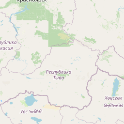
Distance Map Between Tashkent and Astana
Tashkent, Uzbekistan ↔ Astana, Kazakhstan = 693 miles = 1116 km.


How far is it between Tashkent and Astana
Tashkent is located in Uzbekistan with (41.2647,69.2163) coordinates and Astana is located in Kazakhstan with (51.1801,71.446) coordinates. The calculated flying distance from Tashkent to Astana is equal to 693 miles which is equal to 1116 km.
If you want to go by car, the driving distance between Tashkent and Astana is 1578.24 km. If you ride your car with an average speed of 112 kilometers/hour (70 miles/h), travel time will be 14 hours 05 minutes. Please check the avg. speed travel time table on the right for various options.
Difference between fly and go by a car is 462 km.
| City/Place | Latitude and Longitude | GPS Coordinates |
|---|---|---|
| Tashkent | 41.2647, 69.2163 | 41° 15´ 52.7400'' N 69° 12´ 58.5720'' E |
| Astana | 51.1801, 71.446 | 51° 10´ 48.3600'' N 71° 26´ 45.5280'' E |
Estimated Travel Time Between Tashkent and Astana
| Average Speed | Travel Time |
|---|---|
| 30 mph (48 km/h) | 32 hours 52 minutes |
| 40 mph (64 km/h) | 24 hours 39 minutes |
| 50 mph (80 km/h) | 19 hours 43 minutes |
| 60 mph (97 km/h) | 16 hours 16 minutes |
| 70 mph (112 km/h) | 14 hours 05 minutes |
| 75 mph (120 km/h) | 13 hours 09 minutes |
Related Distances from Tashkent
| Cities | Distance |
|---|---|
| Tashkent to Abay | 1508 km |
| Tashkent to Aksu | 1971 km |
| Tashkent to Aksu 2 | 178 km |
| Tashkent to Aktau | 2445 km |
| Tashkent to Almaty | 873 km |
| Tashkent to Aqsay | 2072 km |
| Tashkent to Aqtobe | 1658 km |
| Tashkent to Aral 2 | 1055 km |
| Tashkent to Arys | 164 km |
| Tashkent to Astana | 1578 km |