Distance from Tashkent to Kabul
Distance between Tashkent and Kabul is 749 kilometers (465 miles).
Driving distance from Tashkent to Kabul is 1133 kilometers (704 miles).
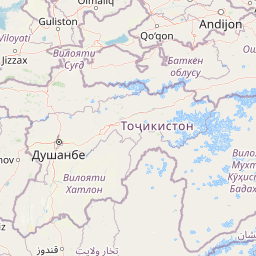
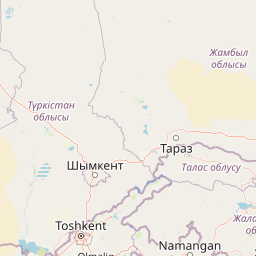
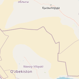
Distance Map Between Tashkent and Kabul
Tashkent, Uzbekistan ↔ Kabul, Afghanistan = 465 miles = 749 km.


How far is it between Tashkent and Kabul
Tashkent is located in Uzbekistan with (41.2647,69.2163) coordinates and Kabul is located in Afghanistan with (34.5281,69.1723) coordinates. The calculated flying distance from Tashkent to Kabul is equal to 465 miles which is equal to 749 km.
If you want to go by car, the driving distance between Tashkent and Kabul is 1132.51 km. If you ride your car with an average speed of 112 kilometers/hour (70 miles/h), travel time will be 10 hours 06 minutes. Please check the avg. speed travel time table on the right for various options.
Difference between fly and go by a car is 384 km.
| City/Place | Latitude and Longitude | GPS Coordinates |
|---|---|---|
| Tashkent | 41.2647, 69.2163 | 41° 15´ 52.7400'' N 69° 12´ 58.5720'' E |
| Kabul | 34.5281, 69.1723 | 34° 31´ 41.2680'' N 69° 10´ 20.3880'' E |
Estimated Travel Time Between Tashkent and Kabul
| Average Speed | Travel Time |
|---|---|
| 30 mph (48 km/h) | 23 hours 35 minutes |
| 40 mph (64 km/h) | 17 hours 41 minutes |
| 50 mph (80 km/h) | 14 hours 09 minutes |
| 60 mph (97 km/h) | 11 hours 40 minutes |
| 70 mph (112 km/h) | 10 hours 06 minutes |
| 75 mph (120 km/h) | 09 hours 26 minutes |
Related Distances from Tashkent
| Cities | Distance |
|---|---|
| Tashkent to Kabul | 1133 km |
| Tashkent to Mazar E Sharif | 762 km |
| Tashkent to Jalalabad | 1259 km |
| Tashkent to Herat | 1311 km |
| Tashkent to Kandahar | 1615 km |
Related Distances to Kabul
| Cities | Distance |
|---|---|
| Tashkent to Kabul | 1133 km |
| Bukhara to Kabul | 900 km |
| Fergana to Kabul | 1096 km |
| Qarshi to Kabul | 735 km |
| Nukus to Kabul | 1446 km |