Distance from Tashkent to Malard
Distance between Tashkent and Malard is 1701 kilometers (1057 miles).
Driving distance from Tashkent to Malard is 2222 kilometers (1381 miles).
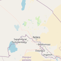
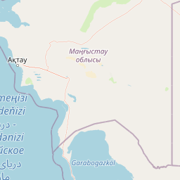
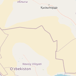
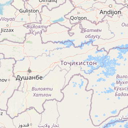
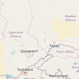
Distance Map Between Tashkent and Malard
Tashkent, Uzbekistan ↔ Malard, Tehran, Iran = 1057 miles = 1701 km.


How far is it between Tashkent and Malārd
Tashkent is located in Uzbekistan with (41.2647,69.2163) coordinates and Malard is located in Iran with (35.6659,50.9767) coordinates. The calculated flying distance from Tashkent to Malard is equal to 1057 miles which is equal to 1701 km.
If you want to go by car, the driving distance between Tashkent and Malard is 2222.41 km. If you ride your car with an average speed of 112 kilometers/hour (70 miles/h), travel time will be 19 hours 50 minutes. Please check the avg. speed travel time table on the right for various options.
Difference between fly and go by a car is 521 km.
| City/Place | Latitude and Longitude | GPS Coordinates |
|---|---|---|
| Tashkent | 41.2647, 69.2163 | 41° 15´ 52.7400'' N 69° 12´ 58.5720'' E |
| Malard | 35.6659, 50.9767 | 35° 39´ 57.2400'' N 50° 58´ 36.1200'' E |
Estimated Travel Time Between Tashkent and Malārd
| Average Speed | Travel Time |
|---|---|
| 30 mph (48 km/h) | 46 hours 18 minutes |
| 40 mph (64 km/h) | 34 hours 43 minutes |
| 50 mph (80 km/h) | 27 hours 46 minutes |
| 60 mph (97 km/h) | 22 hours 54 minutes |
| 70 mph (112 km/h) | 19 hours 50 minutes |
| 75 mph (120 km/h) | 18 hours 31 minutes |
Related Distances from Tashkent
| Cities | Distance |
|---|---|
| Tashkent to Bandar Abbas | 2655 km |
| Tashkent to Tehran | 2149 km |
| Tashkent to Mashhad | 1320 km |
| Tashkent to Isfahan | 2514 km |
| Tashkent to Sarakhs | 1134 km |