Distance from Tashtagol to Tayga
Distance between Tashtagol and Tayga is 395 kilometers (245 miles).
Driving distance from Tashtagol to Tayga is 480 kilometers (299 miles).
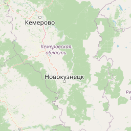
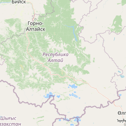
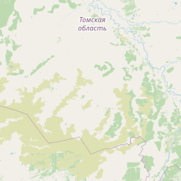
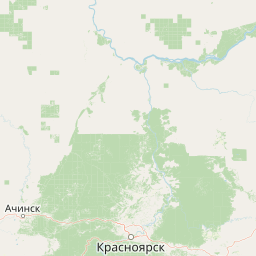
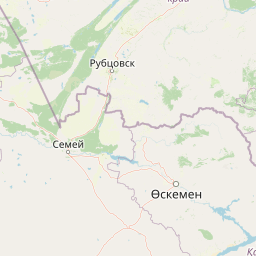
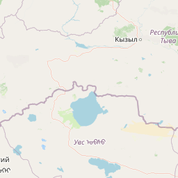
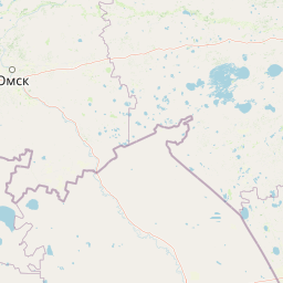
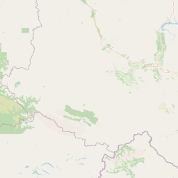
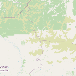
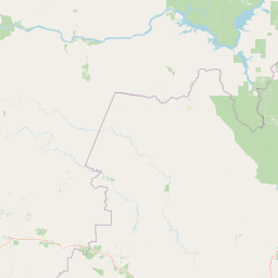
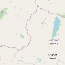
Distance Map Between Tashtagol and Tayga
Tashtagol, Kemerovo, Russia ↔ Tayga, Kemerovo, Russia = 245 miles = 395 km.


How far is it between Tashtagol and Tayga
Tashtagol is located in Russia with (52.7657,87.8894) coordinates and Tayga is located in Russia with (56.064,85.6224) coordinates. The calculated flying distance from Tashtagol to Tayga is equal to 245 miles which is equal to 395 km.
If you want to go by car, the driving distance between Tashtagol and Tayga is 480.44 km. If you ride your car with an average speed of 112 kilometers/hour (70 miles/h), travel time will be 04 hours 17 minutes. Please check the avg. speed travel time table on the right for various options.
Difference between fly and go by a car is 85 km.
| City/Place | Latitude and Longitude | GPS Coordinates |
|---|---|---|
| Tashtagol | 52.7657, 87.8894 | 52° 45´ 56.5200'' N 87° 53´ 21.8400'' E |
| Tayga | 56.064, 85.6224 | 56° 3´ 50.4720'' N 85° 37´ 20.5680'' E |
Estimated Travel Time Between Tashtagol and Tayga
| Average Speed | Travel Time |
|---|---|
| 30 mph (48 km/h) | 10 hours 00 minutes |
| 40 mph (64 km/h) | 07 hours 30 minutes |
| 50 mph (80 km/h) | 06 hours 00 minutes |
| 60 mph (97 km/h) | 04 hours 57 minutes |
| 70 mph (112 km/h) | 04 hours 17 minutes |
| 75 mph (120 km/h) | 04 hours 00 minutes |
Related Distances from Tashtagol
| Cities | Distance |
|---|---|
| Tashtagol to Topki | 408 km |
| Tashtagol to Yurga | 484 km |
| Tashtagol to Tayga | 480 km |
Related Distances to Tayga
| Cities | Distance |
|---|---|
| Novokuznetsk to Tayga | 322 km |
| Leninsk Kuznetsky to Tayga | 200 km |
| Kiselevsk to Tayga | 279 km |
| Mezhdurechensk to Tayga | 412 km |
| Kedrovka to Tayga | 89 km |