Distance from Taunggyi to Shantou
Distance between Taunggyi and Shantou is 2046 kilometers (1271 miles).
Distance Map Between Taunggyi and Shantou
Taunggyi, Myanmar ↔ Shantou, Guangzhou, China = 1271 miles = 2046 km.
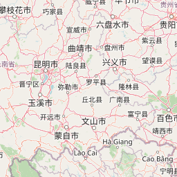
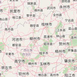


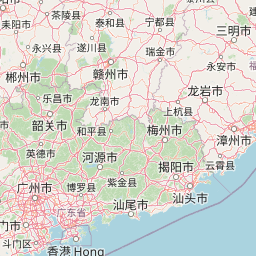


Leaflet | © OpenStreetMap
How far is it between Taunggyi and Shantou
Taunggyi is located in Myanmar with (20.7892,97.0378) coordinates and Shantou is located in China with (23.3681,116.7148) coordinates. The calculated flying distance from Taunggyi to Shantou is equal to 1271 miles which is equal to 2046 km.
| City/Place | Latitude and Longitude | GPS Coordinates |
|---|---|---|
| Taunggyi | 20.7892, 97.0378 | 20° 47´ 21.0840'' N 97° 2´ 15.9360'' E |
| Shantou | 23.3681, 116.7148 | 23° 22´ 5.3040'' N 116° 42´ 53.2440'' E |
Taunggyi, Myanmar
Related Distances from Taunggyi
| Cities | Distance |
|---|---|
| Taunggyi to Yangon | 621 km |
| Taunggyi to Bago | 550 km |
| Taunggyi to Dawei | 907 km |
| Taunggyi to Sagaing | 252 km |
| Taunggyi to Sittwe | 804 km |
Shantou, Guangzhou, China
Related Distances to Shantou
| Cities | Distance |
|---|---|
| Chaozhou to Shantou | 49 km |
| Jieyang to Shantou | 49 km |
| Dongguan to Shantou | 383 km |
| Meizhou to Shantou | 158 km |
| Foshan to Shantou | 463 km |