Distance from Tawau to Phnom Penh
Distance between Tawau and Phnom Penh is 1643 kilometers (1021 miles).
Driving distance from Tawau to Phnom Penh is 6306 kilometers (3919 miles).
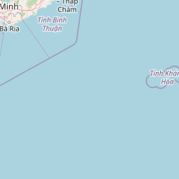
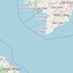
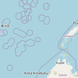
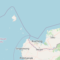
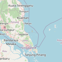
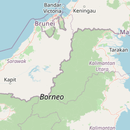
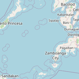
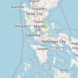
Distance Map Between Tawau and Phnom Penh
Tawau, Kota Kinabalu, Malaysia ↔ Phnom Penh, Cambodia = 1021 miles = 1643 km.


How far is it between Tawau and Phnom Penh
Tawau is located in Malaysia with (4.2448,117.8912) coordinates and Phnom Penh is located in Cambodia with (11.5625,104.916) coordinates. The calculated flying distance from Tawau to Phnom Penh is equal to 1021 miles which is equal to 1643 km.
If you want to go by car, the driving distance between Tawau and Phnom Penh is 6306.32 km. If you ride your car with an average speed of 112 kilometers/hour (70 miles/h), travel time will be 56 hours 18 minutes. Please check the avg. speed travel time table on the right for various options.
Difference between fly and go by a car is 4663 km.
| City/Place | Latitude and Longitude | GPS Coordinates |
|---|---|---|
| Tawau | 4.2448, 117.8912 | 4° 14´ 41.3520'' N 117° 53´ 28.1400'' E |
| Phnom Penh | 11.5625, 104.916 | 11° 33´ 44.8200'' N 104° 54´ 57.6360'' E |
Estimated Travel Time Between Tawau and Phnom Penh
| Average Speed | Travel Time |
|---|---|
| 30 mph (48 km/h) | 131 hours 22 minutes |
| 40 mph (64 km/h) | 98 hours 32 minutes |
| 50 mph (80 km/h) | 78 hours 49 minutes |
| 60 mph (97 km/h) | 65 hours 00 minutes |
| 70 mph (112 km/h) | 56 hours 18 minutes |
| 75 mph (120 km/h) | 52 hours 33 minutes |
Related Distances to Phnom Penh
| Cities | Distance |
|---|---|
| Kuala Lumpur to Phnom Penh | 2116 km |
| Johor Bahru to Phnom Penh | 2465 km |
| Yong Peng to Phnom Penh | 2353 km |
| Subang Jaya to Phnom Penh | 2120 km |
| Kuala Kangsar to Phnom Penh | 1890 km |