Distance from Tefe to La Paz
Distance between Tefe and La Paz is 1507 kilometers (937 miles).
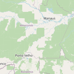
Distance Map Between Tefe and La Paz
Tefe, Manaus, Brazil ↔ La Paz, , Bolivia = 937 miles = 1507 km.


Leaflet | © OpenStreetMap
How far is it between Tefé and La Paz
Tefe is located in Brazil with (-3.3684,-64.7205) coordinates and La Paz is located in Bolivia with (-16.5,-68.15) coordinates. The calculated flying distance from Tefe to La Paz is equal to 937 miles which is equal to 1507 km.
| City/Place | Latitude and Longitude | GPS Coordinates |
|---|---|---|
| Tefe | -3.3684, -64.7205 | 3° 22´ 6.2760'' S 64° 43´ 13.9440'' W |
| La Paz | -16.5, -68.15 | 16° 30´ 0.0000'' S 68° 9´ 0.0000'' W |
La Paz, , Bolivia
Related Distances to La Paz
| Cities | Distance |
|---|---|
| Brasilia to La Paz | 2958 km |
| Brasilia to La Paz 4 | 2507 km |
| Manaus to La Paz | 2747 km |
| Sao Paulo to La Paz 4 | 1873 km |
| Cuiaba to La Paz | 1839 km |