Distance from Tejen to Almaty
Distance between Tejen and Almaty is 1534 kilometers (953 miles).
Driving distance from Tejen to Almaty is 1999 kilometers (1242 miles).
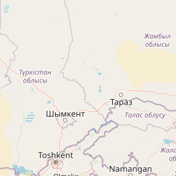
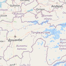
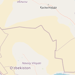
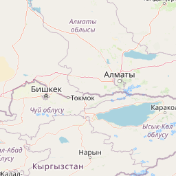
Distance Map Between Tejen and Almaty
Tejen, Ashgabat, Turkmenistan ↔ Almaty, Kazakhstan = 953 miles = 1534 km.


How far is it between Tejen and Almaty
Tejen is located in Turkmenistan with (37.3834,60.5055) coordinates and Almaty is located in Kazakhstan with (43.2565,76.9285) coordinates. The calculated flying distance from Tejen to Almaty is equal to 953 miles which is equal to 1534 km.
If you want to go by car, the driving distance between Tejen and Almaty is 1999.35 km. If you ride your car with an average speed of 112 kilometers/hour (70 miles/h), travel time will be 17 hours 51 minutes. Please check the avg. speed travel time table on the right for various options.
Difference between fly and go by a car is 465 km.
| City/Place | Latitude and Longitude | GPS Coordinates |
|---|---|---|
| Tejen | 37.3834, 60.5055 | 37° 23´ 0.1680'' N 60° 30´ 19.6200'' E |
| Almaty | 43.2565, 76.9285 | 43° 15´ 23.5440'' N 76° 55´ 42.5280'' E |
Estimated Travel Time Between Tejen and Almaty
| Average Speed | Travel Time |
|---|---|
| 30 mph (48 km/h) | 41 hours 39 minutes |
| 40 mph (64 km/h) | 31 hours 14 minutes |
| 50 mph (80 km/h) | 24 hours 59 minutes |
| 60 mph (97 km/h) | 20 hours 36 minutes |
| 70 mph (112 km/h) | 17 hours 51 minutes |
| 75 mph (120 km/h) | 16 hours 39 minutes |
Related Distances to Almaty
| Cities | Distance |
|---|---|
| Ashgabat to Almaty | 2171 km |
| Turkmenabat to Almaty | 1602 km |
| Mary to Almaty | 1831 km |
| Kaka to Almaty | 2025 km |
| Baharly to Almaty | 2351 km |