Distance from Telford to Lowestoft
Distance between Telford and Lowestoft is 285 kilometers (177 miles).
Driving distance from Telford to Lowestoft is 344 kilometers (214 miles).
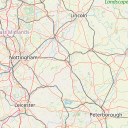
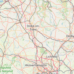
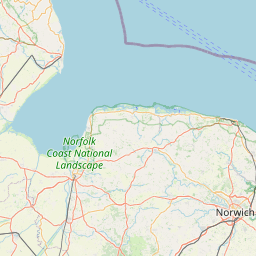
Distance Map Between Telford and Lowestoft
Telford, London, United Kingdom ↔ Lowestoft, London, United Kingdom = 177 miles = 285 km.


How far is it between Telford and Lowestoft
Telford is located in United Kingdom with (52.6766,-2.4493) coordinates and Lowestoft is located in United Kingdom with (52.4752,1.7516) coordinates. The calculated flying distance from Telford to Lowestoft is equal to 177 miles which is equal to 285 km.
If you want to go by car, the driving distance between Telford and Lowestoft is 343.63 km. If you ride your car with an average speed of 112 kilometers/hour (70 miles/h), travel time will be 03 hours 04 minutes. Please check the avg. speed travel time table on the right for various options.
Difference between fly and go by a car is 59 km.
| City/Place | Latitude and Longitude | GPS Coordinates |
|---|---|---|
| Telford | 52.6766, -2.4493 | 52° 40´ 35.7240'' N 2° 26´ 57.3360'' W |
| Lowestoft | 52.4752, 1.7516 | 52° 28´ 30.7200'' N 1° 45´ 5.7240'' E |
Estimated Travel Time Between Telford and Lowestoft
| Average Speed | Travel Time |
|---|---|
| 30 mph (48 km/h) | 07 hours 09 minutes |
| 40 mph (64 km/h) | 05 hours 22 minutes |
| 50 mph (80 km/h) | 04 hours 17 minutes |
| 60 mph (97 km/h) | 03 hours 32 minutes |
| 70 mph (112 km/h) | 03 hours 04 minutes |
| 75 mph (120 km/h) | 02 hours 51 minutes |
Related Distances from Telford
| Cities | Distance |
|---|---|
| Telford to Birmingham | 55 km |
| Telford to Manchester | 119 km |
| Telford to Wolverhampton | 31 km |
| Telford to City Of London | 252 km |
| Telford to Rugby | 102 km |
Related Distances to Lowestoft
| Cities | Distance |
|---|---|
| City Of London to Lowestoft | 227 km |
| Ipswich to Lowestoft | 71 km |
| Cambridge to Lowestoft | 144 km |
| Liverpool to Lowestoft | 449 km |
| Birmingham to Lowestoft | 300 km |