Distance from Temecula to Barstow Heights
Distance between Temecula and Barstow Heights is 153 kilometers (95 miles).
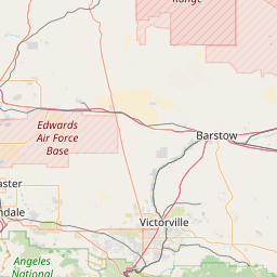
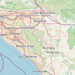
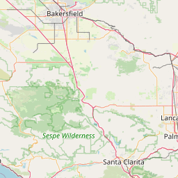
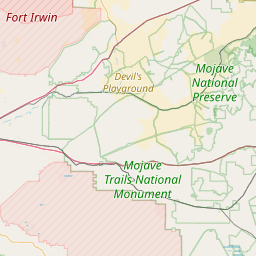
Distance Map Between Temecula and Barstow Heights
Temecula, Sacramento, United States ↔ Barstow Heights, Sacramento, United States = 95 miles = 153 km.

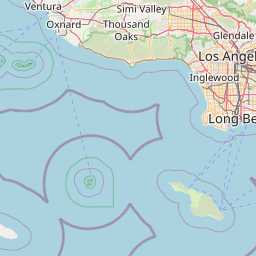

Leaflet | © OpenStreetMap
How far is it between Temecula and Barstow Heights
Temecula is located in United States with (33.4936,-117.1484) coordinates and Barstow Heights is located in United States with (34.8697,-117.0562) coordinates. The calculated flying distance from Temecula to Barstow Heights is equal to 95 miles which is equal to 153 km.
| City/Place | Latitude and Longitude | GPS Coordinates |
|---|---|---|
| Temecula | 33.4936, -117.1484 | 33° 29´ 37.1040'' N 117° 8´ 54.0960'' W |
| Barstow Heights | 34.8697, -117.0562 | 34° 52´ 10.9560'' N 117° 3´ 22.1400'' W |
Temecula, Sacramento, United States
Related Distances from Temecula
| Cities | Distance |
|---|---|
| Temecula to Palm Springs | 130 km |
| Temecula to San Diego | 94 km |
| Temecula to Los Angeles | 137 km |
| Temecula to Lake Elsinore | 28 km |
| Temecula to Riverside | 71 km |
Barstow Heights, Sacramento, United States
Related Distances to Barstow Heights
| Cities | Distance |
|---|---|
| Fresno to Barstow Heights | 384 km |
| Pomona to Barstow Heights | 137 km |
| Modesto to Barstow Heights | 533 km |
| Victorville to Barstow Heights | 49 km |
| Carlsbad to Barstow Heights | 251 km |