Distance from Tequila to Tonala
Distance between Tequila and Tonala is 69 kilometers (43 miles).
Driving distance from Tequila to Tonala is 80 kilometers (50 miles).
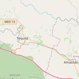
Distance Map Between Tequila and Tonala
Tequila, Guadalajara, Mexico ↔ Tonala, Guadalajara, Mexico = 43 miles = 69 km.


How far is it between Tequila and Tonalá
Tequila is located in Mexico with (20.882,-103.8357) coordinates and Tonala is located in Mexico with (20.6245,-103.2342) coordinates. The calculated flying distance from Tequila to Tonala is equal to 43 miles which is equal to 69 km.
If you want to go by car, the driving distance between Tequila and Tonala is 80.1 km. If you ride your car with an average speed of 112 kilometers/hour (70 miles/h), travel time will be 00 hours 42 minutes. Please check the avg. speed travel time table on the right for various options.
Difference between fly and go by a car is 11 km.
| City/Place | Latitude and Longitude | GPS Coordinates |
|---|---|---|
| Tequila | 20.882, -103.8357 | 20° 52´ 55.0920'' N 103° 50´ 8.4840'' W |
| Tonala | 20.6245, -103.2342 | 20° 37´ 28.0200'' N 103° 14´ 3.2280'' W |
Estimated Travel Time Between Tequila and Tonalá
| Average Speed | Travel Time |
|---|---|
| 30 mph (48 km/h) | 01 hours 40 minutes |
| 40 mph (64 km/h) | 01 hours 15 minutes |
| 50 mph (80 km/h) | 01 hours 00 minutes |
| 60 mph (97 km/h) | 00 hours 49 minutes |
| 70 mph (112 km/h) | 00 hours 42 minutes |
| 75 mph (120 km/h) | 00 hours 40 minutes |
Related Distances from Tequila
| Cities | Distance |
|---|---|
| Tequila to Zapopan | 64 km |
| Tequila to Tlaquepaque | 75 km |
| Tequila to Tonala | 80 km |
| Tequila to Zacoalco De Torres | 117 km |
| Tequila to Zapotlanejo | 101 km |
Related Distances to Tonala
| Cities | Distance |
|---|---|
| Tlaquepaque to Tonala | 11 km |
| Tequila to Tonala | 80 km |
| Puerto Vallarta to Tonala | 319 km |
| Chapala to Tonala | 54 km |
| Ciudad Guzman to Tonala | 142 km |