Distance from Thornton-Cleveleys to Becontree
Distance between Thornton-Cleveleys and Becontree is 334 kilometers (208 miles).
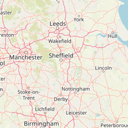
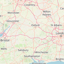
Distance Map Between Thornton-Cleveleys and Becontree
Thornton-Cleveleys, London, United Kingdom ↔ Becontree, London, United Kingdom = 208 miles = 334 km.


Leaflet | © OpenStreetMap
How far is it between Thornton-Cleveleys and Becontree
Thornton-Cleveleys is located in United Kingdom with (53.8739,-3.0224) coordinates and Becontree is located in United Kingdom with (51.5529,0.129) coordinates. The calculated flying distance from Thornton-Cleveleys to Becontree is equal to 208 miles which is equal to 334 km.
| City/Place | Latitude and Longitude | GPS Coordinates |
|---|---|---|
| Thornton-Cleveleys | 53.8739, -3.0224 | 53° 52´ 26.0040'' N 3° 1´ 20.7840'' W |
| Becontree | 51.5529, 0.129 | 51° 33´ 10.4400'' N 0° 7´ 44.4000'' E |
Thornton-Cleveleys, London, United Kingdom
Related Distances from Thornton-Cleveleys
| Cities | Distance |
|---|---|
| Thornton Cleveleys to Weston Super Mare | 362 km |
| Thornton Cleveleys to Gillingham | 451 km |
| Thornton Cleveleys to Dudley | 205 km |
| Thornton Cleveleys to Slough | 373 km |
| Thornton Cleveleys to Walsall | 187 km |
Becontree, London, United Kingdom
Related Distances to Becontree
| Cities | Distance |
|---|---|
| High Peak to Becontree | 314 km |
| Lytham St Annes to Becontree | 459 km |
| Harringay to Becontree | 28 km |
| Bethnal Green to Becontree | 18 km |
| Holloway to Becontree | 31 km |