Distance from Tokat to Mugla
Distance between Tokat and Mugla is 788 kilometers (490 miles).
Driving distance from Tokat to Mugla is 975 kilometers (606 miles).
Distance Map Between Tokat and Mugla
Tokat, Turkey ↔ Mugla, Turkey = 490 miles = 788 km.


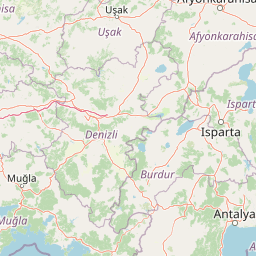

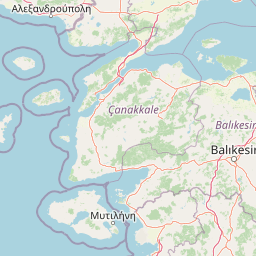

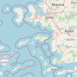


Leaflet | © OpenStreetMap
How far is it between Tokat and Muğla
Tokat is located in Turkey with (40.3139,36.5544) coordinates and Mugla is located in Turkey with (37.2181,28.3665) coordinates. The calculated flying distance from Tokat to Mugla is equal to 490 miles which is equal to 788 km.
If you want to go by car, the driving distance between Tokat and Mugla is 975.26 km. If you ride your car with an average speed of 112 kilometers/hour (70 miles/h), travel time will be 08 hours 42 minutes. Please check the avg. speed travel time table on the right for various options.
Difference between fly and go by a car is 187 km.
| City/Place | Latitude and Longitude | GPS Coordinates |
|---|---|---|
| Tokat | 40.3139, 36.5544 | 40° 18´ 50.0040'' N 36° 33´ 15.9840'' E |
| Mugla | 37.2181, 28.3665 | 37° 13´ 5.0520'' N 28° 21´ 59.4000'' E |
Estimated Travel Time Between Tokat and Muğla
| Average Speed | Travel Time |
|---|---|
| 30 mph (48 km/h) | 20 hours 19 minutes |
| 40 mph (64 km/h) | 15 hours 14 minutes |
| 50 mph (80 km/h) | 12 hours 11 minutes |
| 60 mph (97 km/h) | 10 hours 03 minutes |
| 70 mph (112 km/h) | 08 hours 42 minutes |
| 75 mph (120 km/h) | 08 hours 07 minutes |
Tokat, Turkey
Related Distances from Tokat
| Cities | Distance |
|---|---|
| Tokat to Ankara | 384 km |
| Tokat to Sivas | 106 km |
| Tokat to Izmir | 972 km |
| Tokat to Antalya | 856 km |
| Tokat to Adana | 562 km |
Mugla, Turkey
Related Distances to Mugla
| Cities | Distance |
|---|---|
| Istanbul to Mugla | 764 km |
| Izmir to Mugla | 216 km |
| Antalya to Mugla | 313 km |
| Ankara to Mugla | 607 km |
| Denizli to Mugla | 145 km |