Distance from Tonawanda to Brampton
Distance between Tonawanda and Brampton is 106 kilometers (66 miles).
Driving distance from Tonawanda to Brampton is 150 kilometers (93 miles).
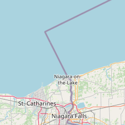
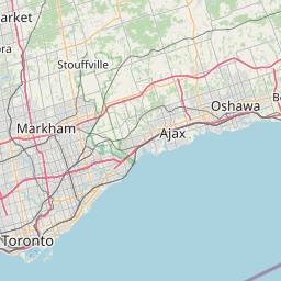
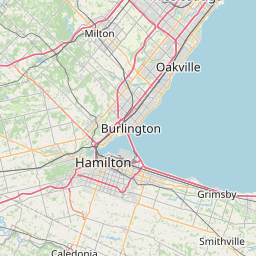
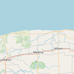
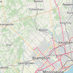
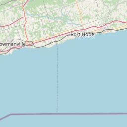
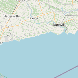
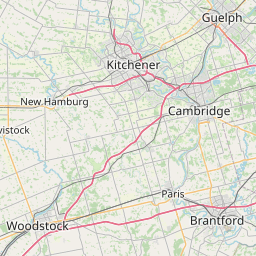
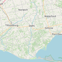
Distance Map Between Tonawanda and Brampton
Tonawanda, Albany, United States ↔ Brampton, Ontario, Canada = 66 miles = 106 km.
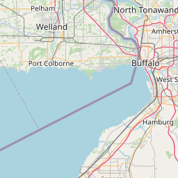


How far is it between Tonawanda and Brampton
Tonawanda is located in United States with (42.985,-78.878) coordinates and Brampton is located in Canada with (43.6834,-79.7663) coordinates. The calculated flying distance from Tonawanda to Brampton is equal to 66 miles which is equal to 106 km.
If you want to go by car, the driving distance between Tonawanda and Brampton is 149.76 km. If you ride your car with an average speed of 112 kilometers/hour (70 miles/h), travel time will be 01 hours 20 minutes. Please check the avg. speed travel time table on the right for various options.
Difference between fly and go by a car is 44 km.
| City/Place | Latitude and Longitude | GPS Coordinates |
|---|---|---|
| Tonawanda | 42.985, -78.878 | 42° 59´ 5.9640'' N 78° 52´ 40.7280'' W |
| Brampton | 43.6834, -79.7663 | 43° 41´ 0.2760'' N 79° 45´ 58.7880'' W |
Estimated Travel Time Between Tonawanda and Brampton
| Average Speed | Travel Time |
|---|---|
| 30 mph (48 km/h) | 03 hours 07 minutes |
| 40 mph (64 km/h) | 02 hours 20 minutes |
| 50 mph (80 km/h) | 01 hours 52 minutes |
| 60 mph (97 km/h) | 01 hours 32 minutes |
| 70 mph (112 km/h) | 01 hours 20 minutes |
| 75 mph (120 km/h) | 01 hours 14 minutes |
Related Distances from Tonawanda
| Cities | Distance |
|---|---|
| Tonawanda to Toronto | 166 km |
| Tonawanda to Montreal | 635 km |
| Tonawanda to Hamilton | 99 km |
| Tonawanda to Mississauga | 134 km |
| Tonawanda to Ottawa | 540 km |
Related Distances to Brampton
| Cities | Distance |
|---|---|
| New York City to Brampton | 784 km |
| Sudbury to Brampton | 855 km |
| Gaithersburg to Brampton | 728 km |
| Concord 3 to Brampton | 846 km |
| Aurora 4 to Brampton | 480 km |