Distance from Toronto to Timmins
Distance between Toronto and Timmins is 550 kilometers (342 miles).
Driving distance from Toronto to Timmins is 685 kilometers (426 miles).
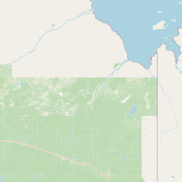
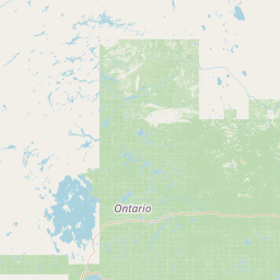
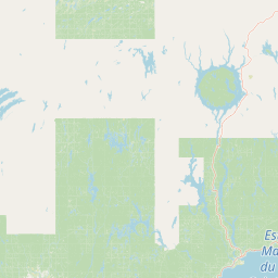
Distance Map Between Toronto and Timmins
Toronto, Ontario, Canada ↔ Timmins, Ontario, Canada = 342 miles = 550 km.


How far is it between Toronto and Timmins
Toronto is located in Canada with (43.7001,-79.4163) coordinates and Timmins is located in Canada with (48.4669,-81.3331) coordinates. The calculated flying distance from Toronto to Timmins is equal to 342 miles which is equal to 550 km.
If you want to go by car, the driving distance between Toronto and Timmins is 685.1 km. If you ride your car with an average speed of 112 kilometers/hour (70 miles/h), travel time will be 06 hours 07 minutes. Please check the avg. speed travel time table on the right for various options.
Difference between fly and go by a car is 135 km.
| City/Place | Latitude and Longitude | GPS Coordinates |
|---|---|---|
| Toronto | 43.7001, -79.4163 | 43° 42´ 0.3960'' N 79° 24´ 58.6800'' W |
| Timmins | 48.4669, -81.3331 | 48° 28´ 0.6960'' N 81° 19´ 59.2320'' W |
Estimated Travel Time Between Toronto and Timmins
| Average Speed | Travel Time |
|---|---|
| 30 mph (48 km/h) | 14 hours 16 minutes |
| 40 mph (64 km/h) | 10 hours 42 minutes |
| 50 mph (80 km/h) | 08 hours 33 minutes |
| 60 mph (97 km/h) | 07 hours 03 minutes |
| 70 mph (112 km/h) | 06 hours 07 minutes |
| 75 mph (120 km/h) | 05 hours 42 minutes |
Related Distances from Toronto
| Cities | Distance |
|---|---|
| TORONTO to Vancouver | 4377 km |
| Toronto to Ontario | 3995 km |
| Toronto to Ottawa | 447 km |
| Toronto to Brampton | 40 km |
| Toronto to Hamilton | 81 km |
Related Distances to Timmins
| Cities | Distance |
|---|---|
| Toronto to Timmins | 685 km |
| Windsor to Timmins | 1025 km |
| Vaughan to Timmins | 667 km |
| Welland to Timmins | 813 km |
| Waterloo to Timmins | 766 km |