Distance from Tororo to Mogadishu
Distance between Tororo and Mogadishu is 1250 kilometers (777 miles).
Driving distance from Tororo to Mogadishu is 1597 kilometers (992 miles).
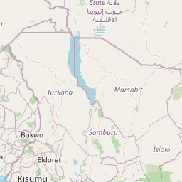
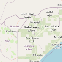
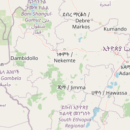
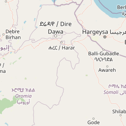
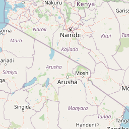
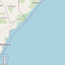
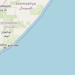
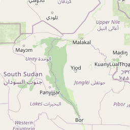
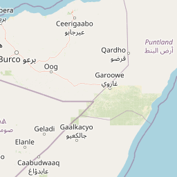
Distance Map Between Tororo and Mogadishu
Tororo, Jinja, Uganda ↔ Mogadishu, Somalia = 777 miles = 1250 km.


How far is it between Tororo and Mogadishu
Tororo is located in Uganda with (0.693,34.1809) coordinates and Mogadishu is located in Somalia with (2.0371,45.3438) coordinates. The calculated flying distance from Tororo to Mogadishu is equal to 777 miles which is equal to 1250 km.
If you want to go by car, the driving distance between Tororo and Mogadishu is 1596.55 km. If you ride your car with an average speed of 112 kilometers/hour (70 miles/h), travel time will be 14 hours 15 minutes. Please check the avg. speed travel time table on the right for various options.
Difference between fly and go by a car is 347 km.
| City/Place | Latitude and Longitude | GPS Coordinates |
|---|---|---|
| Tororo | 0.693, 34.1809 | 0° 41´ 34.7640'' N 34° 10´ 51.0600'' E |
| Mogadishu | 2.0371, 45.3438 | 2° 2´ 13.5960'' N 45° 20´ 37.5000'' E |
Estimated Travel Time Between Tororo and Mogadishu
| Average Speed | Travel Time |
|---|---|
| 30 mph (48 km/h) | 33 hours 15 minutes |
| 40 mph (64 km/h) | 24 hours 56 minutes |
| 50 mph (80 km/h) | 19 hours 57 minutes |
| 60 mph (97 km/h) | 16 hours 27 minutes |
| 70 mph (112 km/h) | 14 hours 15 minutes |
| 75 mph (120 km/h) | 13 hours 18 minutes |
Related Distances to Mogadishu
| Cities | Distance |
|---|---|
| Kampala to Mogadishu | 1819 km |
| Entebbe to Mogadishu | 1836 km |
| Masaka to Mogadishu | 1952 km |
| Gulu to Mogadishu | 1965 km |
| Jinja to Mogadishu | 1727 km |