Distance from Torrance to Corona
Distance between Torrance and Corona is 72 kilometers (45 miles).
Driving distance from Torrance to Corona is 80 kilometers (50 miles).
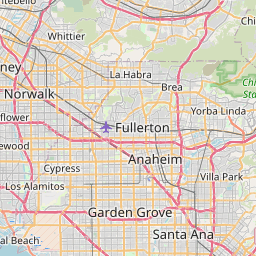
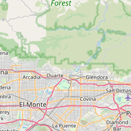
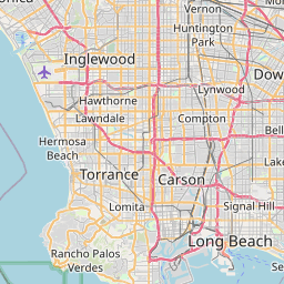
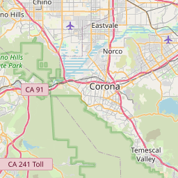
Distance Map Between Torrance and Corona
Torrance, Sacramento, United States ↔ Corona, Sacramento, United States = 45 miles = 72 km.

How far is it between Torrance and Corona
Torrance is located in United States with (33.8359,-118.3406) coordinates and Corona is located in United States with (33.8753,-117.5664) coordinates. The calculated flying distance from Torrance to Corona is equal to 45 miles which is equal to 72 km.
If you want to go by car, the driving distance between Torrance and Corona is 80.46 km. If you ride your car with an average speed of 112 kilometers/hour (70 miles/h), travel time will be 00 hours 43 minutes. Please check the avg. speed travel time table on the right for various options.
Difference between fly and go by a car is 8 km.
| City/Place | Latitude and Longitude | GPS Coordinates |
|---|---|---|
| Torrance | 33.8359, -118.3406 | 33° 50´ 9.0600'' N 118° 20´ 26.2680'' W |
| Corona | 33.8753, -117.5664 | 33° 52´ 31.0440'' N 117° 33´ 59.1840'' W |
Estimated Travel Time Between Torrance and Corona
| Average Speed | Travel Time |
|---|---|
| 30 mph (48 km/h) | 01 hours 40 minutes |
| 40 mph (64 km/h) | 01 hours 15 minutes |
| 50 mph (80 km/h) | 01 hours 00 minutes |
| 60 mph (97 km/h) | 00 hours 49 minutes |
| 70 mph (112 km/h) | 00 hours 43 minutes |
| 75 mph (120 km/h) | 00 hours 40 minutes |
Related Distances from Torrance
| Cities | Distance |
|---|---|
| Torrance to Los Angeles | 34 km |
| Torrance to San Diego | 191 km |
| Torrance to Long Beach | 26 km |
| Torrance to Santa Monica | 31 km |
| Torrance to Irvine | 59 km |
Related Distances to Corona
| Cities | Distance |
|---|---|
| Los Angeles to Corona | 76 km |
| San Diego to Corona | 157 km |
| Long Beach to Corona | 75 km |
| Irvine to Corona | 49 km |
| Temecula to Corona | 62 km |