Distance from Touba to Niamey
Distance between Touba and Niamey is 1945 kilometers (1208 miles).
Driving distance from Touba to Niamey is 2555 kilometers (1588 miles).
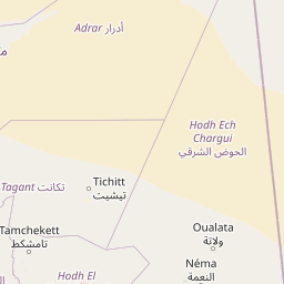
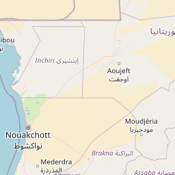
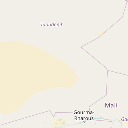
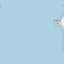
Distance Map Between Touba and Niamey
Touba, , Senegal ↔ Niamey, Niger = 1208 miles = 1945 km.


How far is it between Touba and Niamey
Touba is located in Senegal with (14.85,-15.8833) coordinates and Niamey is located in Niger with (13.5137,2.1098) coordinates. The calculated flying distance from Touba to Niamey is equal to 1208 miles which is equal to 1945 km.
If you want to go by car, the driving distance between Touba and Niamey is 2555.33 km. If you ride your car with an average speed of 112 kilometers/hour (70 miles/h), travel time will be 22 hours 48 minutes. Please check the avg. speed travel time table on the right for various options.
Difference between fly and go by a car is 610 km.
| City/Place | Latitude and Longitude | GPS Coordinates |
|---|---|---|
| Touba | 14.85, -15.8833 | 14° 50´ 60.0000'' N 15° 52´ 59.9880'' W |
| Niamey | 13.5137, 2.1098 | 13° 30´ 49.1760'' N 2° 6´ 35.2800'' E |
Estimated Travel Time Between Touba and Niamey
| Average Speed | Travel Time |
|---|---|
| 30 mph (48 km/h) | 53 hours 14 minutes |
| 40 mph (64 km/h) | 39 hours 55 minutes |
| 50 mph (80 km/h) | 31 hours 56 minutes |
| 60 mph (97 km/h) | 26 hours 20 minutes |
| 70 mph (112 km/h) | 22 hours 48 minutes |
| 75 mph (120 km/h) | 21 hours 17 minutes |
Related Distances to Niamey
| Cities | Distance |
|---|---|
| Dakar to Niamey | 2718 km |
| Dara to Niamey | 2502 km |
| Kedougou to Niamey | 2491 km |
| Louga to Niamey | 2626 km |
| Matam to Niamey | 2290 km |