Distance from Troutdale to Bethany
Distance between Troutdale and Bethany is 37 kilometers (23 miles).
Driving distance from Troutdale to Bethany is 46 kilometers (29 miles).
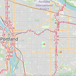
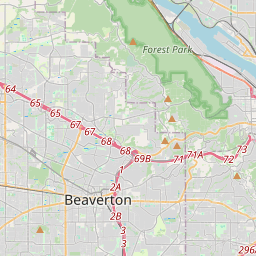
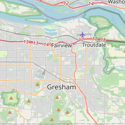
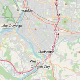
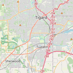
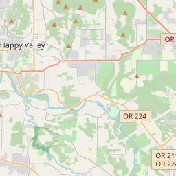
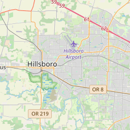
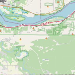
Distance Map Between Troutdale and Bethany
Troutdale, Salem, United States ↔ Bethany, Salem, United States = 23 miles = 37 km.


How far is it between Troutdale and Bethany
Troutdale is located in United States with (45.5393,-122.3873) coordinates and Bethany is located in United States with (45.5579,-122.8676) coordinates. The calculated flying distance from Troutdale to Bethany is equal to 23 miles which is equal to 37 km.
If you want to go by car, the driving distance between Troutdale and Bethany is 46.1 km. If you ride your car with an average speed of 112 kilometers/hour (70 miles/h), travel time will be 00 hours 24 minutes. Please check the avg. speed travel time table on the right for various options.
Difference between fly and go by a car is 9 km.
| City/Place | Latitude and Longitude | GPS Coordinates |
|---|---|---|
| Troutdale | 45.5393, -122.3873 | 45° 32´ 21.4440'' N 122° 23´ 14.3160'' W |
| Bethany | 45.5579, -122.8676 | 45° 33´ 28.4040'' N 122° 52´ 3.3600'' W |
Estimated Travel Time Between Troutdale and Bethany
| Average Speed | Travel Time |
|---|---|
| 30 mph (48 km/h) | 00 hours 57 minutes |
| 40 mph (64 km/h) | 00 hours 43 minutes |
| 50 mph (80 km/h) | 00 hours 34 minutes |
| 60 mph (97 km/h) | 00 hours 28 minutes |
| 70 mph (112 km/h) | 00 hours 24 minutes |
| 75 mph (120 km/h) | 00 hours 23 minutes |
Related Distances from Troutdale
| Cities | Distance |
|---|---|
| Troutdale to Portland | 27 km |
| Troutdale to Pendleton | 311 km |
| Troutdale to Oregon City | 37 km |
| Troutdale to Gresham | 8 km |
| Troutdale to Corvallis | 160 km |
Related Distances to Bethany
| Cities | Distance |
|---|---|
| Edmond to Bethany 2 | 27 km |
| Midwest City to Bethany 2 | 29 km |
| Yukon to Bethany 2 | 13 km |
| Hillsboro to Bethany | 17 km |
| Mustang to Bethany 2 | 23 km |