Distance from Tupa to Votorantim
Distance between Tupa and Votorantim is 363 kilometers (225 miles).
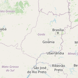
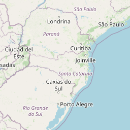
Distance Map Between Tupa and Votorantim
Tupa, Sao Paulo, Brazil ↔ Votorantim, Sao Paulo, Brazil = 225 miles = 363 km.


Leaflet | © OpenStreetMap
How far is it between Tupã and Votorantim
Tupa is located in Brazil with (-21.9347,-50.5136) coordinates and Votorantim is located in Brazil with (-23.5467,-47.4378) coordinates. The calculated flying distance from Tupa to Votorantim is equal to 225 miles which is equal to 363 km.
| City/Place | Latitude and Longitude | GPS Coordinates |
|---|---|---|
| Tupa | -21.9347, -50.5136 | 21° 56´ 4.9920'' S 50° 30´ 48.9960'' W |
| Votorantim | -23.5467, -47.4378 | 23° 32´ 48.0120'' S 47° 26´ 16.0080'' W |
Tupa, Sao Paulo, Brazil
Related Distances from Tupa
| Cities | Distance |
|---|---|
| Tupa to Ubatuba | 740 km |
| Tupa to Varzea Paulista | 496 km |
| Tupa to Votuporanga | 228 km |
Votorantim, Sao Paulo, Brazil
Related Distances to Votorantim
| Cities | Distance |
|---|---|
| Sao Bernardo Do Campo to Votorantim | 122 km |
| Sao Jose Dos Campos to Votorantim | 195 km |
| Penapolis to Votorantim | 422 km |
| Franco Da Rocha to Votorantim | 111 km |
| Tatui to Votorantim | 64 km |
| Lorena to Votorantim | 288 km |
| Sao Jose Do Rio Preto to Votorantim | 426 km |
| Rio Claro to Votorantim | 164 km |
| Sao Carlos to Votorantim | 220 km |
| Santa Cruz Do Rio Pardo to Votorantim | 288 km |