Distance from Tyler to Mesquite
Distance between Tyler and Mesquite is 130 kilometers (81 miles).
Driving distance from Tyler to Mesquite is 139 kilometers (86 miles).
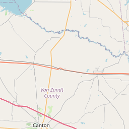
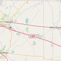
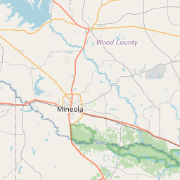
Distance Map Between Tyler and Mesquite
Tyler, Austin, United States ↔ Mesquite, Austin, United States = 81 miles = 130 km.

How far is it between Tyler and Mesquite
Tyler is located in United States with (32.3513,-95.3011) coordinates and Mesquite is located in United States with (32.7668,-96.5992) coordinates. The calculated flying distance from Tyler to Mesquite is equal to 81 miles which is equal to 130 km.
If you want to go by car, the driving distance between Tyler and Mesquite is 138.6 km. If you ride your car with an average speed of 112 kilometers/hour (70 miles/h), travel time will be 01 hours 14 minutes. Please check the avg. speed travel time table on the right for various options.
Difference between fly and go by a car is 9 km.
| City/Place | Latitude and Longitude | GPS Coordinates |
|---|---|---|
| Tyler | 32.3513, -95.3011 | 32° 21´ 4.5360'' N 95° 18´ 3.8160'' W |
| Mesquite | 32.7668, -96.5992 | 32° 46´ 0.4800'' N 96° 35´ 56.9760'' W |
Estimated Travel Time Between Tyler and Mesquite
| Average Speed | Travel Time |
|---|---|
| 30 mph (48 km/h) | 02 hours 53 minutes |
| 40 mph (64 km/h) | 02 hours 09 minutes |
| 50 mph (80 km/h) | 01 hours 43 minutes |
| 60 mph (97 km/h) | 01 hours 25 minutes |
| 70 mph (112 km/h) | 01 hours 14 minutes |
| 75 mph (120 km/h) | 01 hours 09 minutes |
Related Distances from Tyler
| Cities | Distance |
|---|---|
| Tyler to Palestine | 76 km |
| Tyler to Houston | 320 km |
| Tyler to Longview | 61 km |
| Tyler to Dallas | 160 km |
| Tyler to Mckinney | 195 km |
Related Distances to Mesquite
| Cities | Distance |
|---|---|
| Las Vegas to Mesquite 2 | 130 km |
| Plano to Mesquite | 39 km |
| Rockwall to Mesquite | 31 km |
| Richardson to Mesquite | 28 km |
| Texas City to Mesquite | 455 km |