Distance from Ughelli to Niamey
Distance between Ughelli and Niamey is 989 kilometers (615 miles).
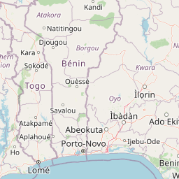
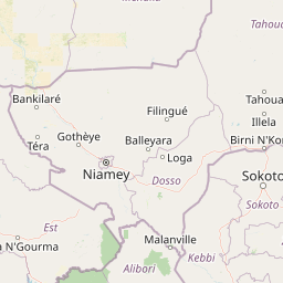
Distance Map Between Ughelli and Niamey
Ughelli, Asaba, Nigeria ↔ Niamey, Niger = 615 miles = 989 km.


Leaflet | © OpenStreetMap
How far is it between Ughelli and Niamey
Ughelli is located in Nigeria with (5.4899,6.0074) coordinates and Niamey is located in Niger with (13.5137,2.1098) coordinates. The calculated flying distance from Ughelli to Niamey is equal to 615 miles which is equal to 989 km.
| City/Place | Latitude and Longitude | GPS Coordinates |
|---|---|---|
| Ughelli | 5.4899, 6.0074 | 5° 29´ 23.4960'' N 6° 0´ 26.7480'' E |
| Niamey | 13.5137, 2.1098 | 13° 30´ 49.1760'' N 2° 6´ 35.2800'' E |
Ughelli, Asaba, Nigeria
Related Distances from Ughelli
| Cities | Distance |
|---|---|
| Ughelli to Warri | 40 km |
| Ughelli to Sapele | 71 km |
| Ughelli to Kwale | 66 km |
| Ughelli to Ogwashi Uku | 124 km |
Niamey, Niger
Related Distances to Niamey
| Cities | Distance |
|---|---|
| Kano to Niamey | 920 km |
| Sokoto to Niamey | 513 km |
| Lagos to Niamey | 1153 km |
| Abuja to Niamey | 946 km |
| Katsina to Niamey | 751 km |