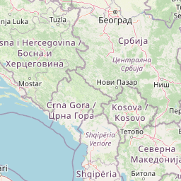
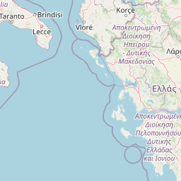
Distance from Urla to Rome
Distance between Urla and Rome is 1274 kilometers (791 miles).
Distance Map Between Urla and Rome
Urla, Izmir, Turkey ↔ Rome, Italy = 791 miles = 1274 km.


Leaflet | © OpenStreetMap
How far is it between Urla and Rome
Urla is located in Turkey with (38.3229,26.764) coordinates and Rome is located in Italy with (41.8919,12.5113) coordinates. The calculated flying distance from Urla to Rome is equal to 791 miles which is equal to 1274 km.
| City/Place | Latitude and Longitude | GPS Coordinates |
|---|---|---|
| Urla | 38.3229, 26.764 | 38° 19´ 22.5120'' N 26° 45´ 50.5080'' E |
| Rome | 41.8919, 12.5113 | 41° 53´ 30.9480'' N 12° 30´ 40.7880'' E |
Urla, Izmir, Turkey
Related Distances from Urla
| Cities | Distance |
|---|---|
| Urla to Selcuk | 110 km |
| Urla to Seferihisar | 19 km |
Rome, Italy
Related Distances to Rome
| Cities | Distance |
|---|---|
| Istanbul to Rome | 1711 km |
| Izmir to Rome | 1949 km |
| Antalya to Rome | 2457 km |
| Sisli to Rome | 1746 km |
| Manisa to Rome | 1954 km |