Distance from Utica to Rochester
Distance between Utica and Rochester is 193 kilometers (120 miles).
Driving distance from Utica to Rochester is 218 kilometers (135 miles).
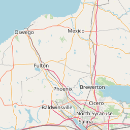
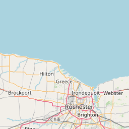
Distance Map Between Utica and Rochester
Utica, Albany, United States ↔ Rochester, Albany, United States = 120 miles = 193 km.


How far is it between Utica and Rochester
Utica is located in United States with (43.1009,-75.2327) coordinates and Rochester is located in United States with (43.1548,-77.6156) coordinates. The calculated flying distance from Utica to Rochester is equal to 120 miles which is equal to 193 km.
If you want to go by car, the driving distance between Utica and Rochester is 217.99 km. If you ride your car with an average speed of 112 kilometers/hour (70 miles/h), travel time will be 01 hours 56 minutes. Please check the avg. speed travel time table on the right for various options.
Difference between fly and go by a car is 25 km.
| City/Place | Latitude and Longitude | GPS Coordinates |
|---|---|---|
| Utica | 43.1009, -75.2327 | 43° 6´ 3.2400'' N 75° 13´ 57.5760'' W |
| Rochester | 43.1548, -77.6156 | 43° 9´ 17.2080'' N 77° 36´ 56.0160'' W |
Estimated Travel Time Between Utica and Rochester
| Average Speed | Travel Time |
|---|---|
| 30 mph (48 km/h) | 04 hours 32 minutes |
| 40 mph (64 km/h) | 03 hours 24 minutes |
| 50 mph (80 km/h) | 02 hours 43 minutes |
| 60 mph (97 km/h) | 02 hours 14 minutes |
| 70 mph (112 km/h) | 01 hours 56 minutes |
| 75 mph (120 km/h) | 01 hours 48 minutes |
Related Distances from Utica
| Cities | Distance |
|---|---|
| Utica to New York City | 386 km |
| Utica to Syracuse | 88 km |
| Utica to Ithaca | 171 km |
| Utica to Buffalo | 319 km |
| Utica to Niagara Falls 2 | 340 km |
Related Distances to Rochester
| Cities | Distance |
|---|---|
| Syracuse to Rochester | 141 km |
| Taylor to Rochester Hills | 65 km |
| Troy to Rochester Hills | 6 km |
| Saint Clair Shores to Rochester Hills | 45 km |
| Sterling Heights to Rochester Hills | 21 km |