Distance from Uvalde to Garland
Distance between Uvalde and Garland is 509 kilometers (316 miles).
Distance Map Between Uvalde and Garland
Uvalde, Austin, United States ↔ Garland, Austin, United States = 316 miles = 509 km.


Leaflet | © OpenStreetMap
How far is it between Uvalde and Garland
Uvalde is located in United States with (29.2097,-99.7862) coordinates and Garland is located in United States with (32.9126,-96.6389) coordinates. The calculated flying distance from Uvalde to Garland is equal to 316 miles which is equal to 509 km.
| City/Place | Latitude and Longitude | GPS Coordinates |
|---|---|---|
| Uvalde | 29.2097, -99.7862 | 29° 12´ 34.8480'' N 99° 47´ 10.2120'' W |
| Garland | 32.9126, -96.6389 | 32° 54´ 45.4320'' N 96° 38´ 19.9680'' W |
Uvalde, Austin, United States
Related Distances from Uvalde
| Cities | Distance |
|---|---|
| Uvalde to San Antonio | 134 km |
| Uvalde to Houston | 446 km |
| Uvalde to Corpus Christi | 316 km |
| Uvalde to Dallas | 575 km |
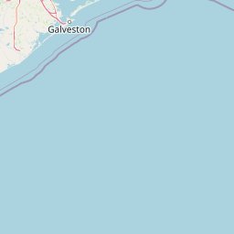
| Uvalde to Galveston | 527 km |
Garland, Austin, United States
Related Distances to Garland
| Cities | Distance |
|---|---|
| Irving to Garland | 40 km |
| Mesquite to Garland | 21 km |
| Plano to Garland | 17 km |
| Mckinney to Garland | 41 km |
| Houston to Garland | 405 km |