Distance from Vallejo to Modesto
Distance between Vallejo and Modesto is 122 kilometers (76 miles).
Driving distance from Vallejo to Modesto is 152 kilometers (94 miles).
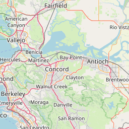
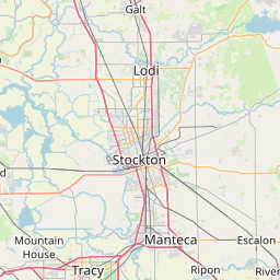
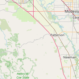
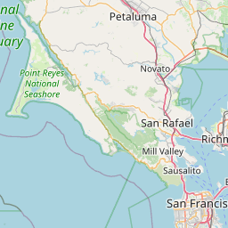
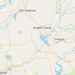
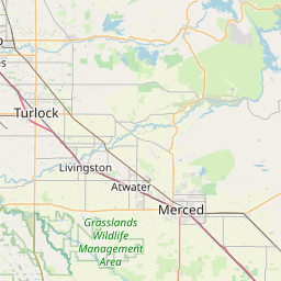
Distance Map Between Vallejo and Modesto
Vallejo, Sacramento, United States ↔ Modesto, Sacramento, United States = 76 miles = 122 km.


How far is it between Vallejo and Modesto
Vallejo is located in United States with (38.1041,-122.2566) coordinates and Modesto is located in United States with (37.6391,-120.9969) coordinates. The calculated flying distance from Vallejo to Modesto is equal to 76 miles which is equal to 122 km.
If you want to go by car, the driving distance between Vallejo and Modesto is 151.59 km. If you ride your car with an average speed of 112 kilometers/hour (70 miles/h), travel time will be 01 hours 21 minutes. Please check the avg. speed travel time table on the right for various options.
Difference between fly and go by a car is 30 km.
| City/Place | Latitude and Longitude | GPS Coordinates |
|---|---|---|
| Vallejo | 38.1041, -122.2566 | 38° 6´ 14.7240'' N 122° 15´ 23.9040'' W |
| Modesto | 37.6391, -120.9969 | 37° 38´ 20.7600'' N 120° 59´ 48.7680'' W |
Estimated Travel Time Between Vallejo and Modesto
| Average Speed | Travel Time |
|---|---|
| 30 mph (48 km/h) | 03 hours 09 minutes |
| 40 mph (64 km/h) | 02 hours 22 minutes |
| 50 mph (80 km/h) | 01 hours 53 minutes |
| 60 mph (97 km/h) | 01 hours 33 minutes |
| 70 mph (112 km/h) | 01 hours 21 minutes |
| 75 mph (120 km/h) | 01 hours 15 minutes |
Related Distances from Vallejo
| Cities | Distance |
|---|---|
| Vallejo to San Francisco | 51 km |
| Vallejo to Napa | 23 km |
| Vallejo to Oakland | 42 km |
| Vallejo to Los Angeles | 620 km |
| Vallejo to Vacaville | 40 km |
Related Distances to Modesto
| Cities | Distance |
|---|---|
| Stockton to Modesto | 51 km |
| San Francisco to Modesto | 148 km |
| San Jose to Modesto | 146 km |
| Patterson to Modesto | 27 km |
| Oakley to Modesto | 94 km |