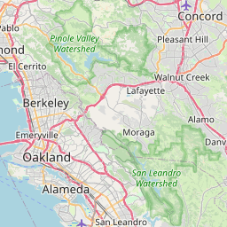
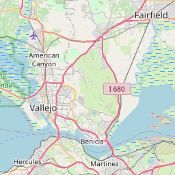
Distance from Vallejo to San Lorenzo
Distance between Vallejo and San Lorenzo is 48 kilometers (30 miles).
Driving distance from Vallejo to San Lorenzo is 62 kilometers (38 miles).
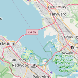
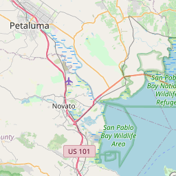
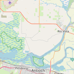
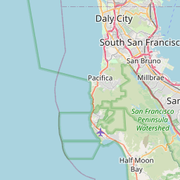
Distance Map Between Vallejo and San Lorenzo
Vallejo, Sacramento, United States ↔ San Lorenzo, Sacramento, United States = 30 miles = 48 km.

How far is it between Vallejo and San Lorenzo
Vallejo is located in United States with (38.1041,-122.2566) coordinates and San Lorenzo is located in United States with (37.681,-122.1244) coordinates. The calculated flying distance from Vallejo to San Lorenzo is equal to 30 miles which is equal to 48 km.
If you want to go by car, the driving distance between Vallejo and San Lorenzo is 61.73 km. If you ride your car with an average speed of 112 kilometers/hour (70 miles/h), travel time will be 00 hours 33 minutes. Please check the avg. speed travel time table on the right for various options.
Difference between fly and go by a car is 14 km.
| City/Place | Latitude and Longitude | GPS Coordinates |
|---|---|---|
| Vallejo | 38.1041, -122.2566 | 38° 6´ 14.7240'' N 122° 15´ 23.9040'' W |
| San Lorenzo | 37.681, -122.1244 | 37° 40´ 51.7440'' N 122° 7´ 27.8760'' W |
Estimated Travel Time Between Vallejo and San Lorenzo
| Average Speed | Travel Time |
|---|---|
| 30 mph (48 km/h) | 01 hours 17 minutes |
| 40 mph (64 km/h) | 00 hours 57 minutes |
| 50 mph (80 km/h) | 00 hours 46 minutes |
| 60 mph (97 km/h) | 00 hours 38 minutes |
| 70 mph (112 km/h) | 00 hours 33 minutes |
| 75 mph (120 km/h) | 00 hours 30 minutes |
Related Distances from Vallejo
| Cities | Distance |
|---|---|
| Vallejo to San Francisco | 51 km |
| Vallejo to Napa | 23 km |
| Vallejo to Oakland | 42 km |
| Vallejo to Los Angeles | 620 km |
| Vallejo to Vacaville | 40 km |
Related Distances to San Lorenzo
| Cities | Distance |
|---|---|
| Santa Clara 2 to San Lorenzo 3 | 51 km |
| Stockton to San Lorenzo 3 | 97 km |
| Santa Rosa 2 to San Lorenzo 3 | 114 km |
| San Mateo 2 to San Lorenzo 3 | 32 km |
| Sunnyvale to San Lorenzo 3 | 51 km |