Distance from Vaughan to Guelph
Distance between Vaughan and Guelph is 69 kilometers (43 miles).
Driving distance from Vaughan to Guelph is 93 kilometers (58 miles).
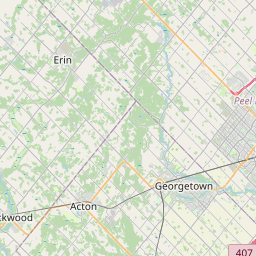
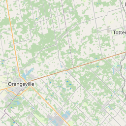
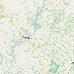
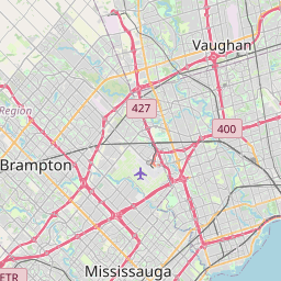
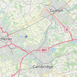
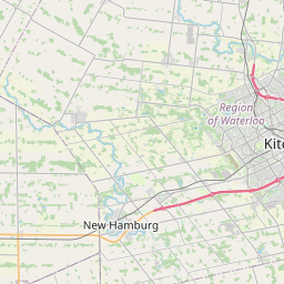
Distance Map Between Vaughan and Guelph
Vaughan, Ontario, Canada ↔ Guelph, Ontario, Canada = 43 miles = 69 km.


How far is it between Vaughan and Guelph
Vaughan is located in Canada with (43.8361,-79.4983) coordinates and Guelph is located in Canada with (43.5459,-80.256) coordinates. The calculated flying distance from Vaughan to Guelph is equal to 43 miles which is equal to 69 km.
If you want to go by car, the driving distance between Vaughan and Guelph is 92.65 km. If you ride your car with an average speed of 112 kilometers/hour (70 miles/h), travel time will be 00 hours 49 minutes. Please check the avg. speed travel time table on the right for various options.
Difference between fly and go by a car is 24 km.
| City/Place | Latitude and Longitude | GPS Coordinates |
|---|---|---|
| Vaughan | 43.8361, -79.4983 | 43° 50´ 9.9600'' N 79° 29´ 53.7720'' W |
| Guelph | 43.5459, -80.256 | 43° 32´ 45.3840'' N 80° 15´ 21.5640'' W |
Estimated Travel Time Between Vaughan and Guelph
| Average Speed | Travel Time |
|---|---|
| 30 mph (48 km/h) | 01 hours 55 minutes |
| 40 mph (64 km/h) | 01 hours 26 minutes |
| 50 mph (80 km/h) | 01 hours 09 minutes |
| 60 mph (97 km/h) | 00 hours 57 minutes |
| 70 mph (112 km/h) | 00 hours 49 minutes |
| 75 mph (120 km/h) | 00 hours 46 minutes |
Related Distances from Vaughan
| Cities | Distance |
|---|---|
| Vaughan to Toronto | 29 km |
| Vaughan to Brampton | 38 km |
| Vaughan to Mississauga | 44 km |
| Vaughan to Barrie | 76 km |
| Vaughan to North York | 14 km |
Related Distances to Guelph
| Cities | Distance |
|---|---|
| Toronto to Guelph | 90 km |
| Hamilton to Guelph | 54 km |
| Kitchener to Guelph | 32 km |
| London 2 to Guelph | 119 km |
| Mississauga to Guelph | 71 km |