Distance from Vellmar to Fulda
Distance between Vellmar and Fulda is 91 kilometers (56 miles).
Driving distance from Vellmar to Fulda is 112 kilometers (70 miles).
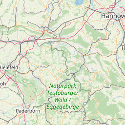
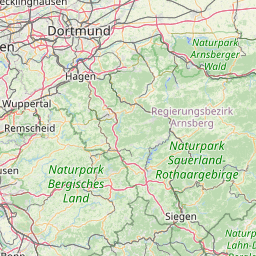
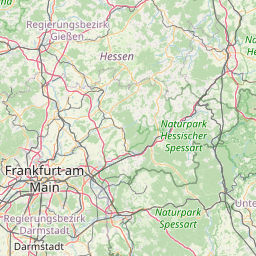
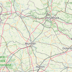
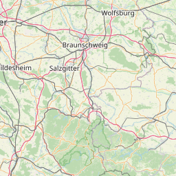
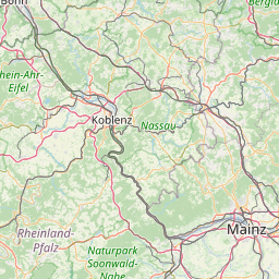
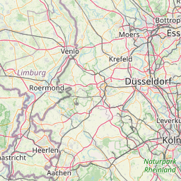
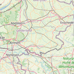
Distance Map Between Vellmar and Fulda
Vellmar, Wiesbaden, Germany ↔ Fulda, Wiesbaden, Germany = 56 miles = 91 km.
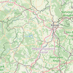


How far is it between Vellmar and Fulda
Vellmar is located in Germany with (51.3581,9.4797) coordinates and Fulda is located in Germany with (50.5516,9.6752) coordinates. The calculated flying distance from Vellmar to Fulda is equal to 56 miles which is equal to 91 km.
If you want to go by car, the driving distance between Vellmar and Fulda is 111.95 km. If you ride your car with an average speed of 112 kilometers/hour (70 miles/h), travel time will be 00 hours 59 minutes. Please check the avg. speed travel time table on the right for various options.
Difference between fly and go by a car is 21 km.
| City/Place | Latitude and Longitude | GPS Coordinates |
|---|---|---|
| Vellmar | 51.3581, 9.4797 | 51° 21´ 29.0160'' N 9° 28´ 47.0640'' E |
| Fulda | 50.5516, 9.6752 | 50° 33´ 5.8320'' N 9° 40´ 30.6480'' E |
Estimated Travel Time Between Vellmar and Fulda
| Average Speed | Travel Time |
|---|---|
| 30 mph (48 km/h) | 02 hours 19 minutes |
| 40 mph (64 km/h) | 01 hours 44 minutes |
| 50 mph (80 km/h) | 01 hours 23 minutes |
| 60 mph (97 km/h) | 01 hours 09 minutes |
| 70 mph (112 km/h) | 00 hours 59 minutes |
| 75 mph (120 km/h) | 00 hours 55 minutes |
Related Distances from Vellmar
| Cities | Distance |
|---|---|
| Vellmar to Kassel | 6 km |
| Vellmar to Frankfurt Am Main | 197 km |
| Vellmar to Bad Hersfeld | 74 km |
| Vellmar to Bad Homburg Vor Der Hoehe | 189 km |
| Vellmar to Gross Gerau | 225 km |
Related Distances to Fulda
| Cities | Distance |
|---|---|
| Frankfurt Am Main to Fulda | 102 km |
| Bad Hersfeld to Fulda | 55 km |
| Darmstadt to Fulda | 128 km |
| Budingen to Fulda | 76 km |
| Friedberg 2 to Fulda | 108 km |